A challenging but accessible break was the plan.
A chance to unwind on winding roads, see all, ear all, say nowt.
An escape, into wild windswept reaches of the Yorkshire Dales…

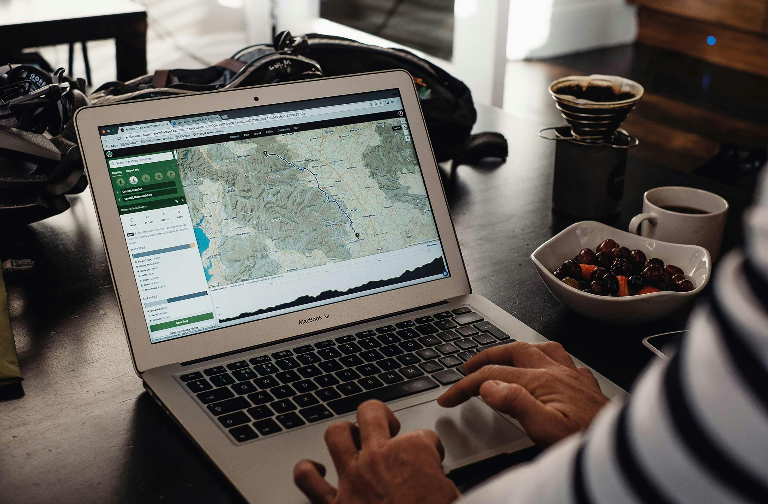


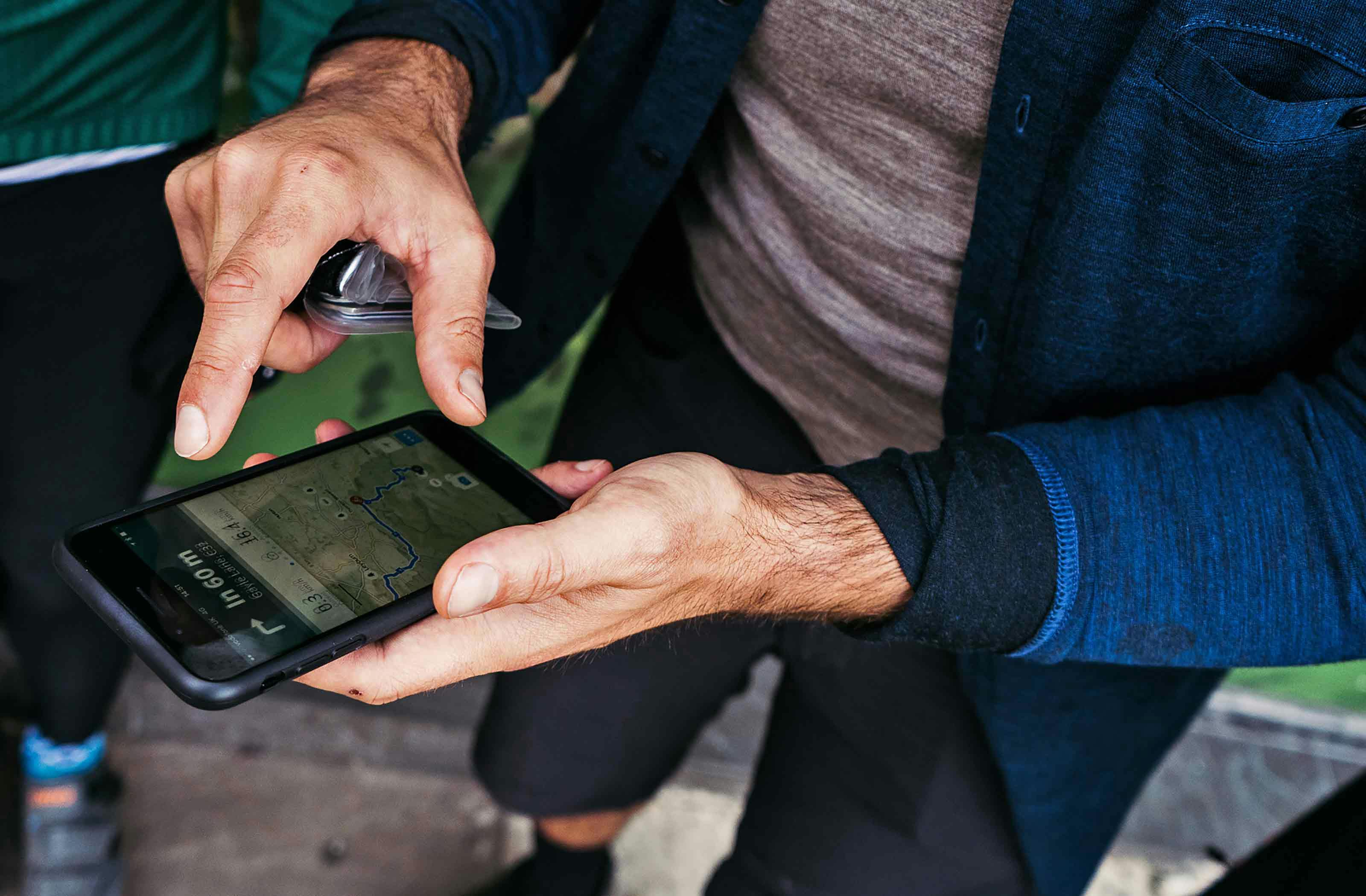
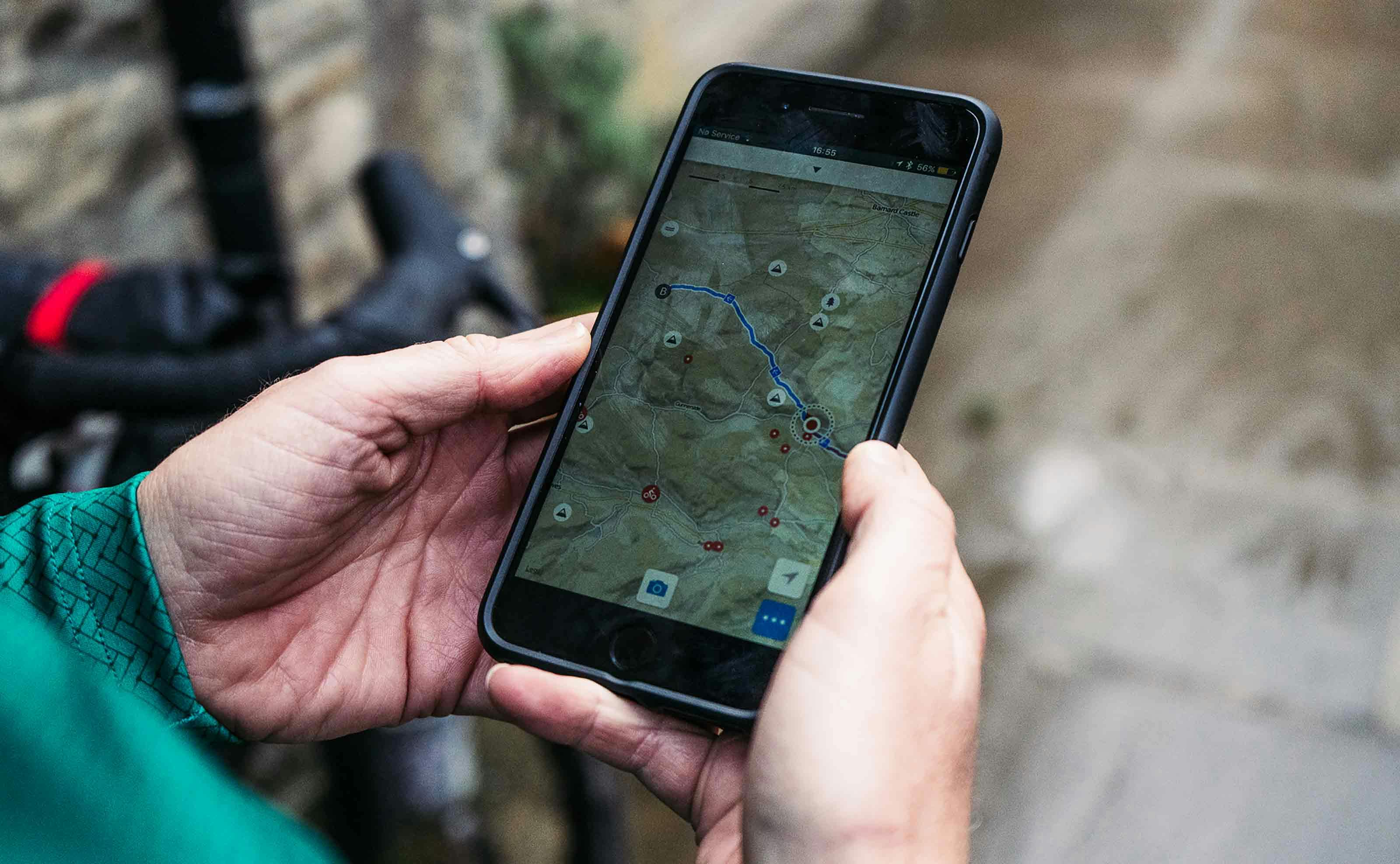
You could cut the tension with a spork at our morning meet point in the regal spa town of Harrogate. This tour was very much unplanned – neither of us knew where we were riding over the next couple of days and it felt kinda refreshing. This time we were leaving Komoot – a map and routing app designed for cyclists and outdoor enthusiasts – to plot our escape into the Yorkshire Dales.
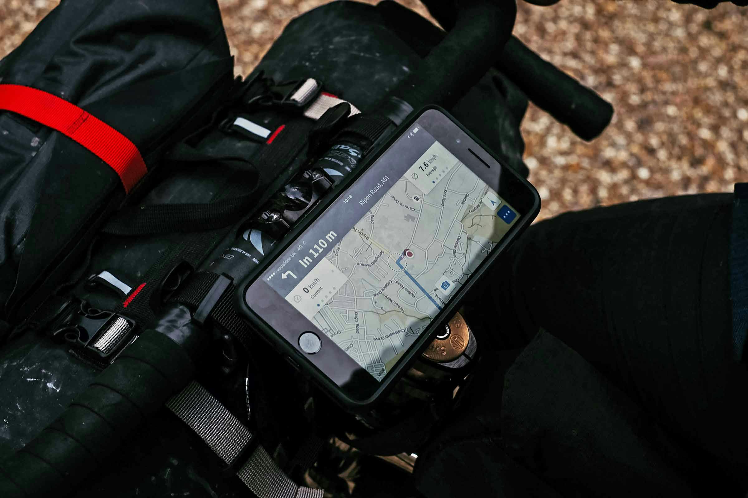
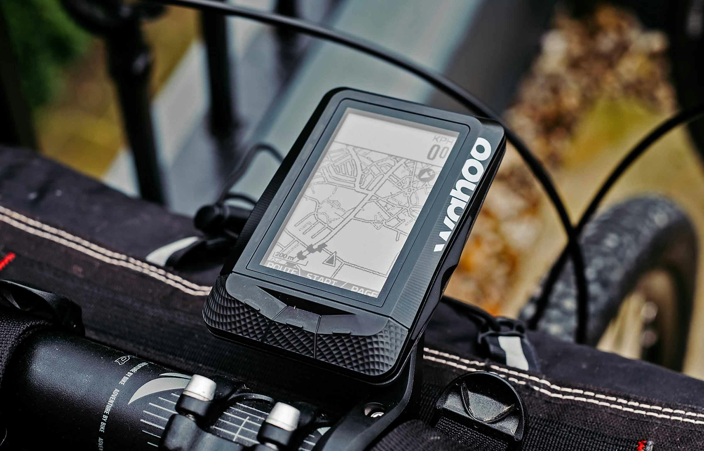
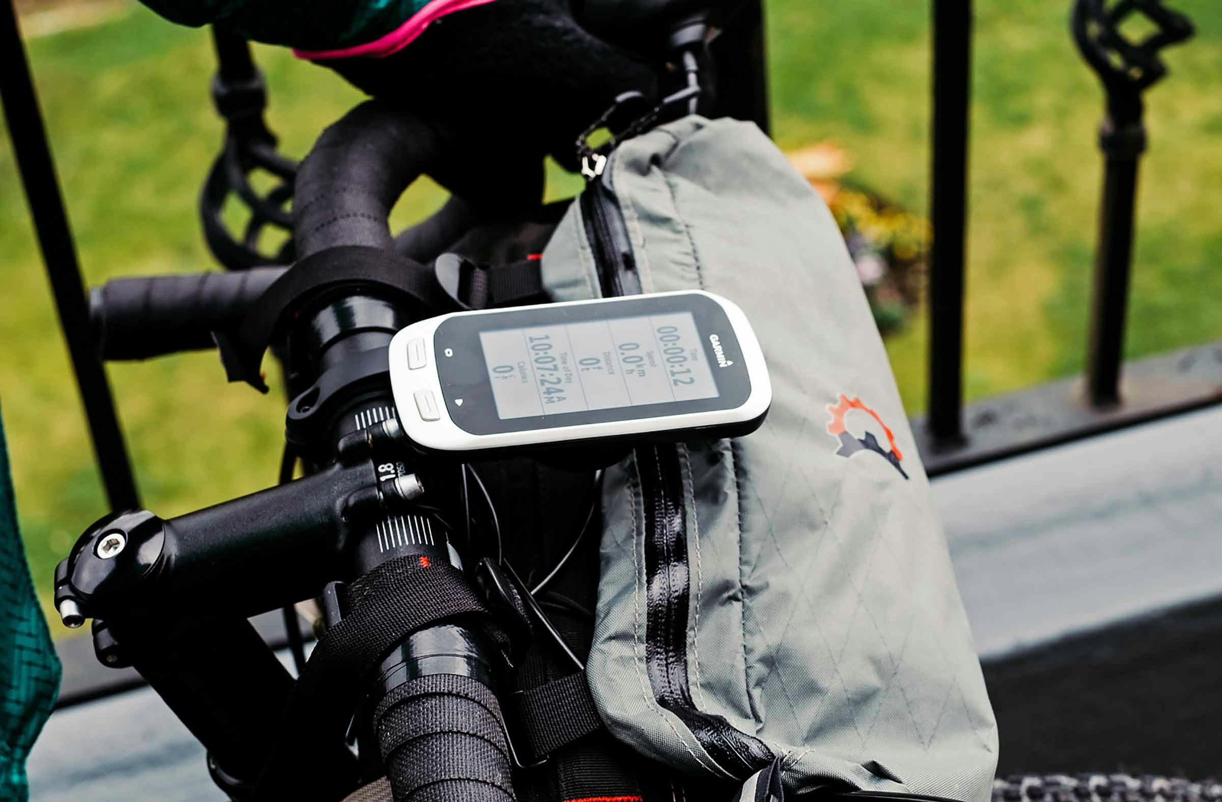
To be fair, we had heard a lot of good things about Komoot (it’s uber-popular in Germany, and nothing to do with commuting) so when Fiola from the App suggested we give it a go on a short UK tour, we took a chance and agreed to leave the OS maps behind. And, there was bigger news on our Yorkshire horizon – Komoot were about to launch their new integration with Garmin devices, so we were tasked with testing the partnership out in-the-field. One of us would ride with the phone app running on a smartphone, one with a Wahoo Elemnt, and one with a Garmin Edge Explore 1000, both synced with the route we were about to plan on the fly. This Dalescape tour was more about ease than epic – as back-to-basics as a bike tour can get – you might even call it a microadventure. Riding all-road bikes and carrying all our own shelter/supplies gave us the freedom to go wherever the Dale winds took us…
So as all good bike journey planning starts, we sat around hot brews, searching the map for an accessible point in the Yorkshire Dales National Park to aim for the first night. Panning our way west through Swaledale, one of fifty-one Dales in the region, we noticed the intriguing “Tan Hill Inn – a 17th Century Inn with Rooms Pub Food” – tucked away further north at the end of the winding Stonesdale Beck; perched high on the ridged border of the National Park and North Pennines AONB. It was a no-brainer; according to Komoot it was 90km away…
DALE [Dæl – Old English] n.
– a valley, especially in northern England
– typically named by prefixing the name of its river


General rules state that if a website displays the local weather forecast and a live webcam, you’re in for a decent escape. Think mountain summits, remote Alpine refuges and secluded beach hotels that post forecasts for safety, or boasting purposes. Or both. High and exposed at a staggering 528m the Tan Hill Inn complies and, to stoke the wanderlust, we’d also noticed landlady Louise boasting about being snowed in 50 times (for between three and 11 days, since 2005) when they were trying to sell-up in July this year. She sold it to us.
Riding north out of Harrogate, the pleasant North Yorkshire landscape rolled and rolled, past well-groomed farms, tons of Land Rover Defenders, National Trust Abbeys, and the most pheasant roadkill ever. As the ease of following our route on each of the devices normalised it wasn’t until we reached the River Swale, nearly ¾ into the day’s ride, that things got interesting. Hedgerows turned to dry-stone walls, hills grew around us, grasslands morphed to moorlands and the riding became more challenging; enough to be happy to see Brenda & Stuart still had the lights on at the Dales Bike Centre in Fremington for a hearty soup, sarnie and shortbread stop before the final section up to the highest pub in Britain…
So far, wayfinding via Komoot on the iPhone and other devices worked flawlessly, even offline. However, talking over an actual physical map in the workshop with Stuart, he pretty much convinced us to change our route and carry on following the River Swale to Keld, before heading north to Tan Hill. So, we took Komoot back online and ‘added a waypoint’ by clicking over Keld on the map, which automatically re-routed us and updated all the surface-types and elevation profiles – handy to see, and easy to edit if still needed. All the new route information downloaded for offline-use on the Komoot app, and a quick sync with our Wahoo / Garmin apps and we were up and riding again, excited for the last 28km to our evening stopover. As Stuart folded his map, he mentioned that a guy called Jack would be staying at the inn too – another travelling cyclist who had been in for some mechanical help and food at lunchtime. “ Say hi to him, for me” he said as he wished us on our way…
We were now riding through Swaledale – a major one of the 51 dales, created by the Swale cutting through the Limestone rock that forms the majority of the region. Dusk and drizzle fell quickly now and said river rushed alongside us, living up to the ‘swale’ name which stems from the Anglo-Saxon word for ‘rapid and liable to deluge’. This was real sheep farming territory – a dale where nature and people have crafted a stunning landscape of wildness, but character. Even riding through we felt somewhat feel part of the action: farmer’s whistles rang through the hills to round up the hundreds of sheep, and sheep barns (used for storing food and housing sheep in real-bad weather) dotted the dale: the ‘Valley of the Barns’.

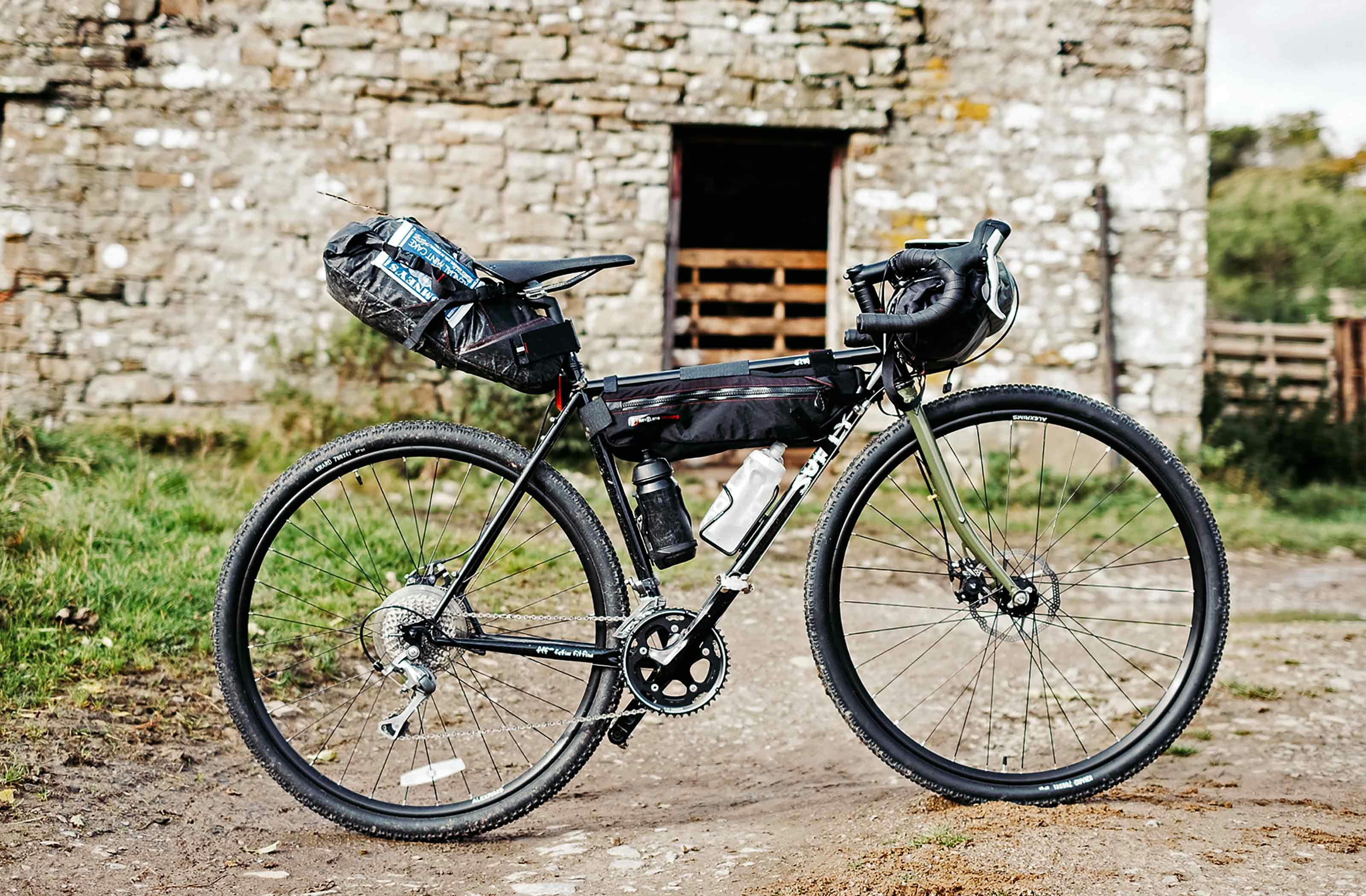
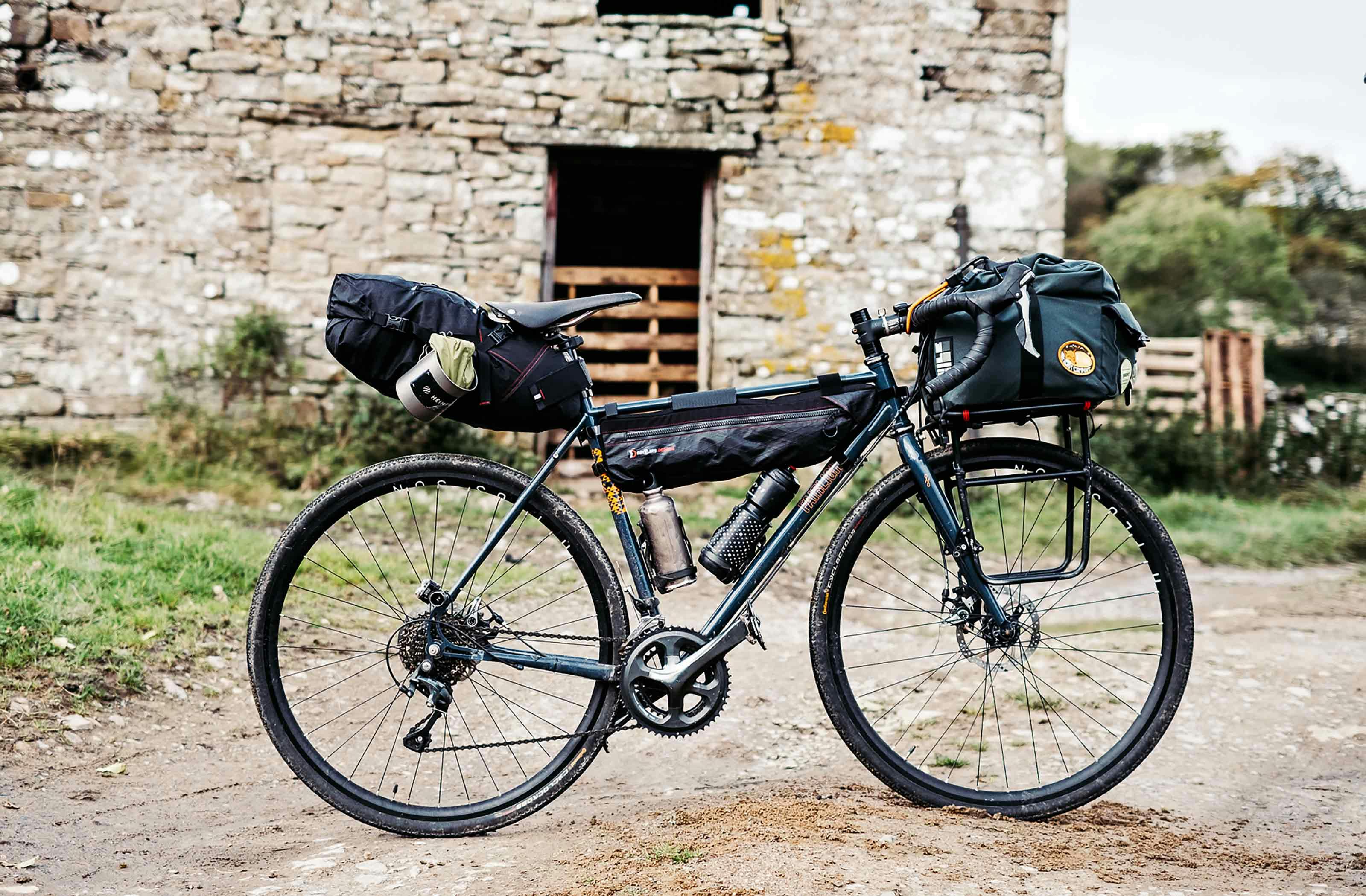
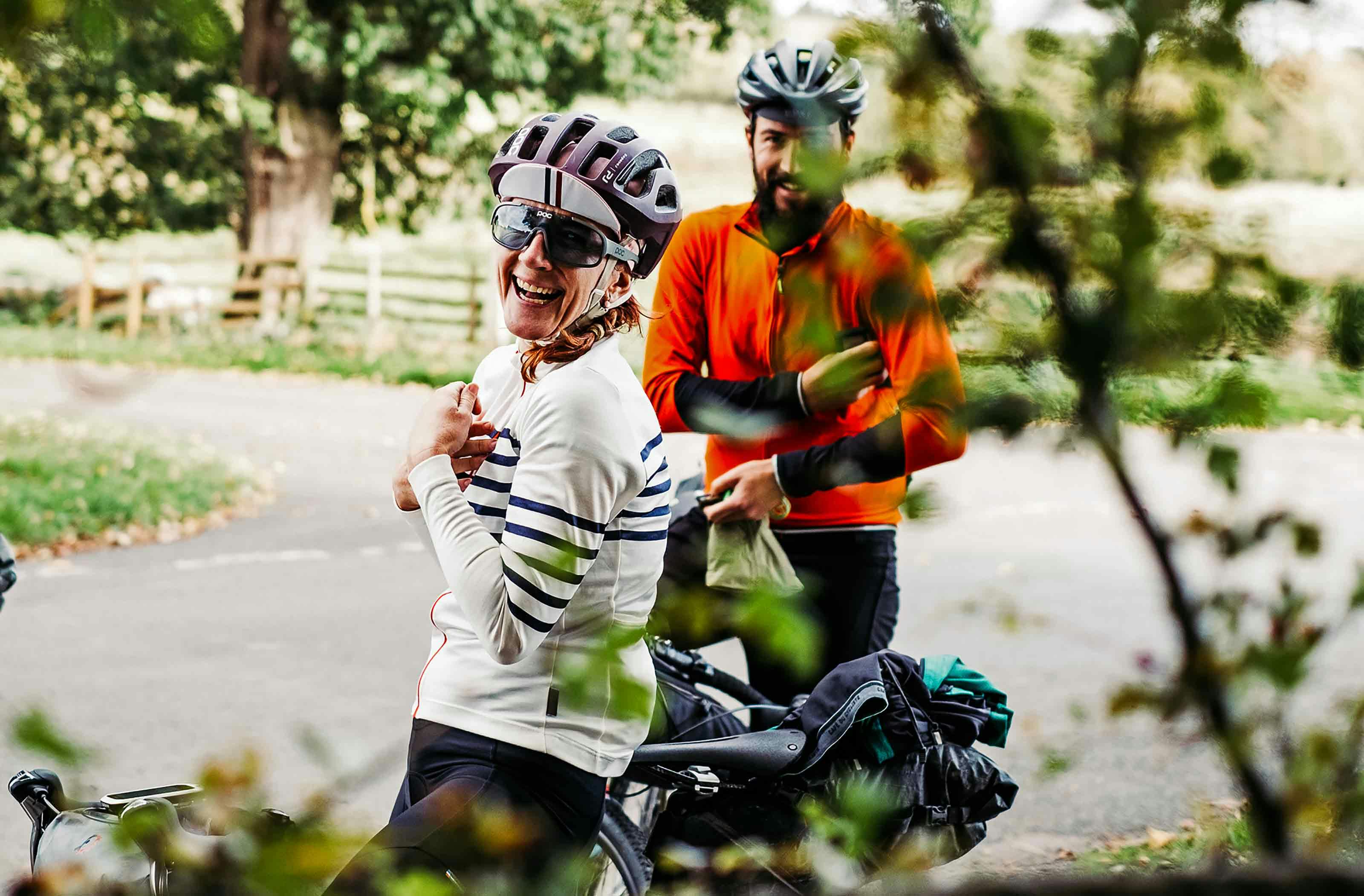
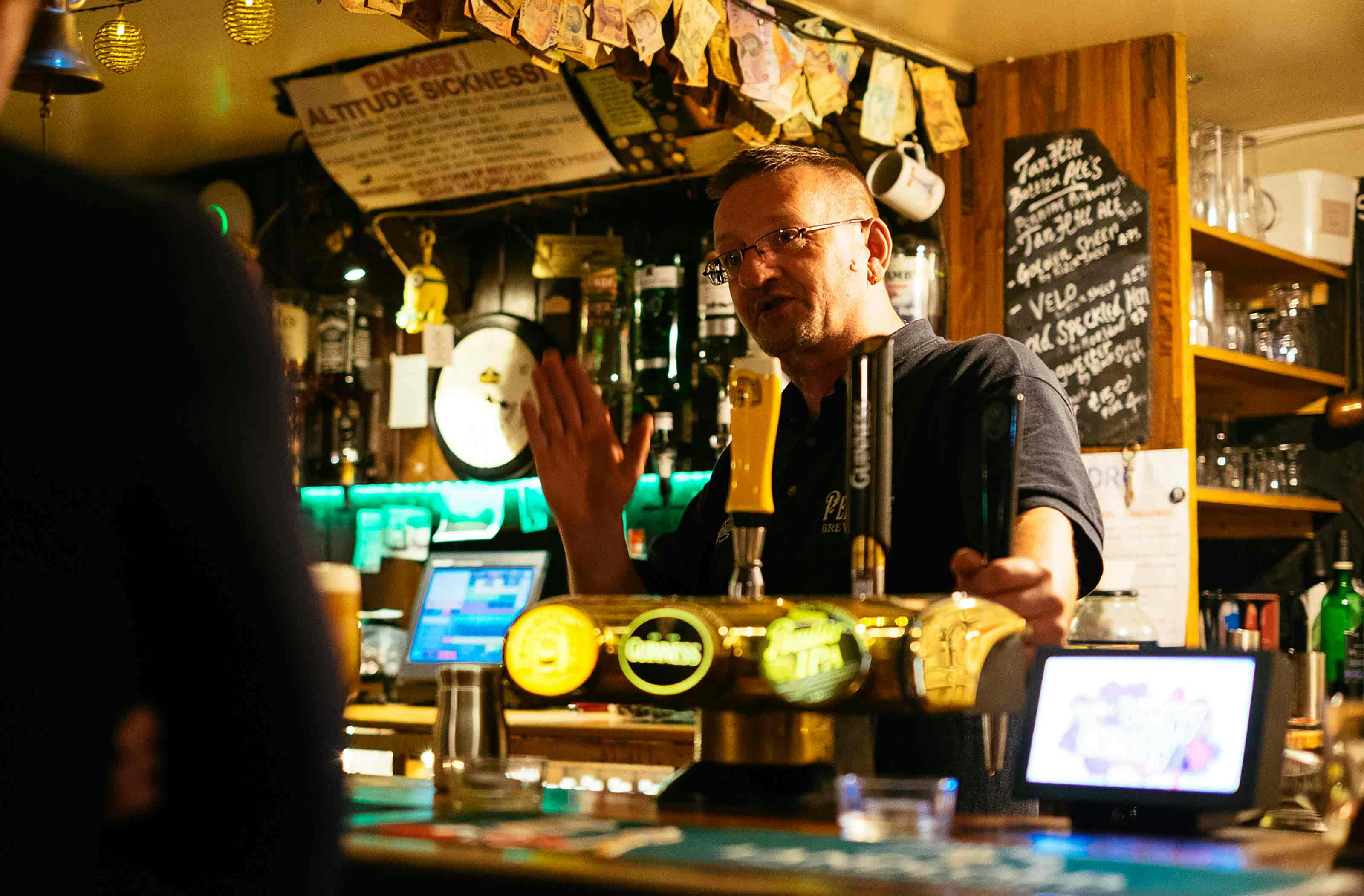
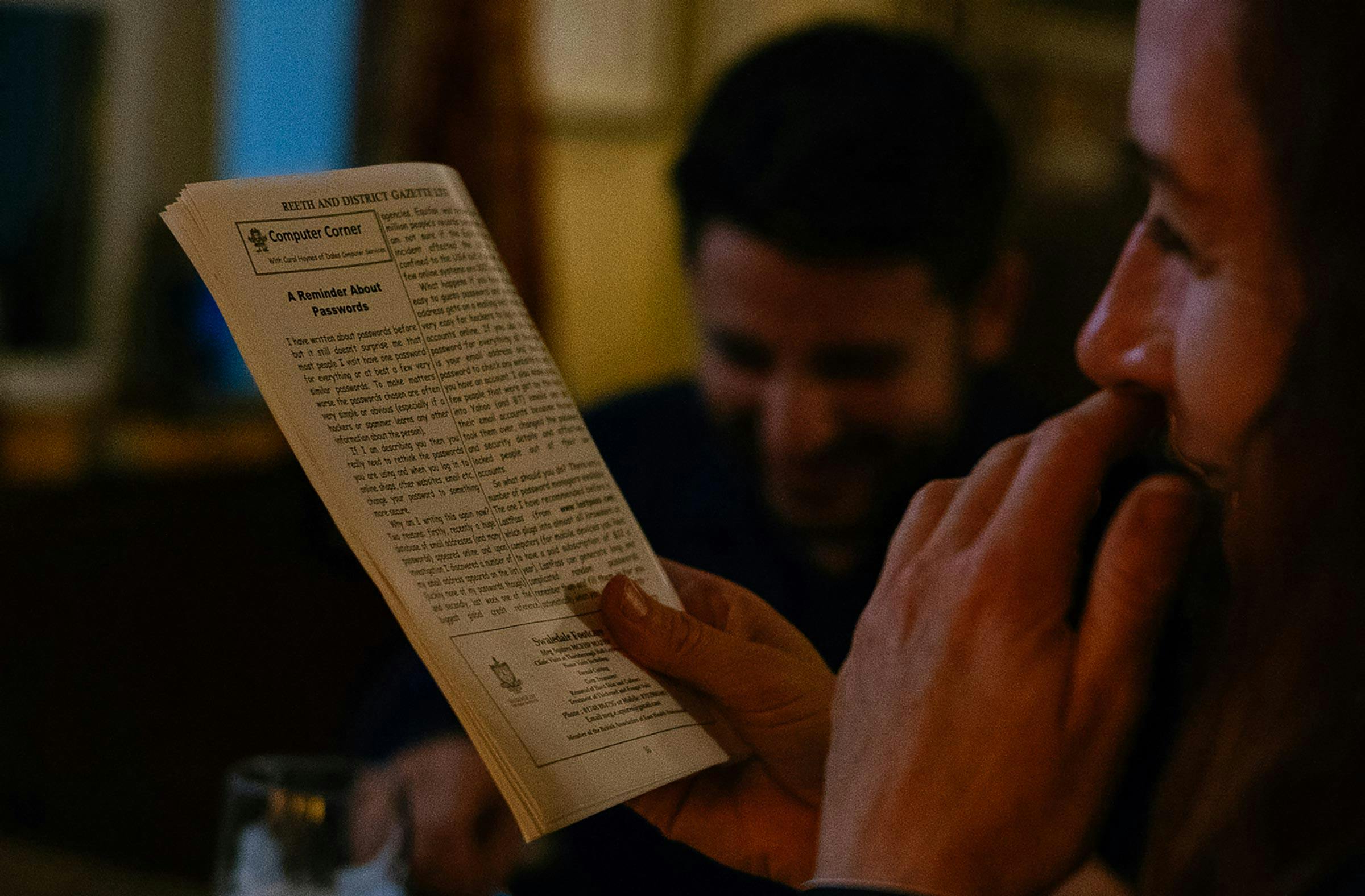

Riding through the dark and drizzle made for a satisfying end to the day, and only heightened the feeling of heading deeper into the Dales; in these parts there was zero light pollution and rainclouds masked the moonlight. Each of us rode the somewhat sheltered single-track road that followed Stonesdale Beck at our own pace and seperating out meant everything fell quiet; eerie but for the soundtrack of the rushing beck. This was the escape we were after…
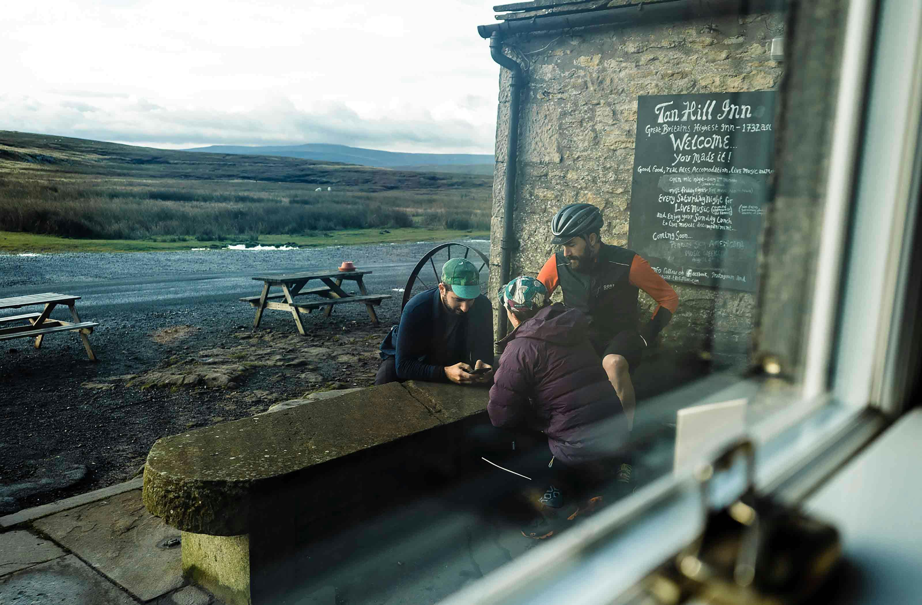
A beacon of light appeared in the distance, and sure enough, the Tan Hill Inn sign flapped and creaked in the now howling winds as we neared. Bikes stowed out the back Bavarian Beer Hall/Apres-Ski Lodge themed ‘party’ barn, we headed in through the front door, bags in arms, without raising a single eyebrow. It was clearly the norm for folk to turn up here, in the middle of nowhere, mid-evening. What would The Hoosiers have thought when they turned up to play there, that one time? Sure enough Jack was sat in the homely, glowing bar, still in his riding kit, chomping his way through a monster toad-in-the-Yorkshire-pudding meal. Envy hit us all.
Photos of the snowed-in pub over the years decorated the bar walls, but it was landlord chats and the local (Reeth) Gazettes, Yorkshire Journals, and colonial “Epic Adventures” books from the Inn’s hotchpotch bookshelf that provided the main entertainment, as we tucked into our oversized dinners and beers before bed.
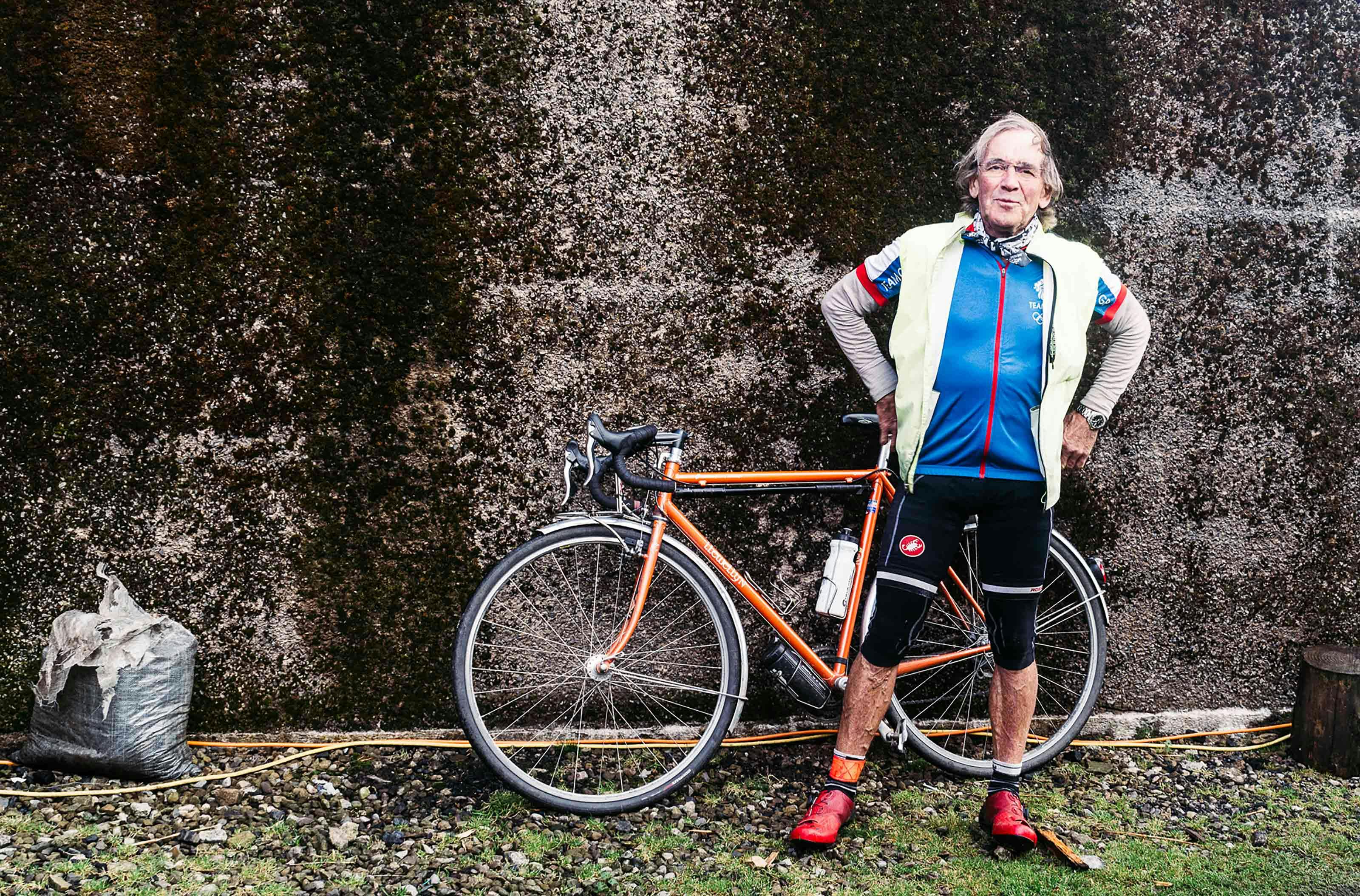
The howling morning winds brought us clear skies to what felt like the middle of nowhere. We made the most of the views from the exposed ridge and packed our bikes out the front of the Inn, amongst the moorland Grouse, resident Tan Hill chickens and Haaglund snowmobile, and Jack who was loading-up his Llewelyn steel tourer for his ride further north, across the border into Scotland. Grabbing coffees from the breakfast room, we stayed outside in the fresh air to plot our way back towards Harrogate, adding the town of Hawes as a waypoint for a lunch stopover and Creamery visit that had been recommended. Only Buttertubs Pass stood between us and our next Dale: Wensleydale…
…after planning the day’s route, sheltered out of the Tan Hill winds, we said goodbye to Jack and headed back south over Buttertubs Pass to Hawes … fuelled on Coco-Pops and toast

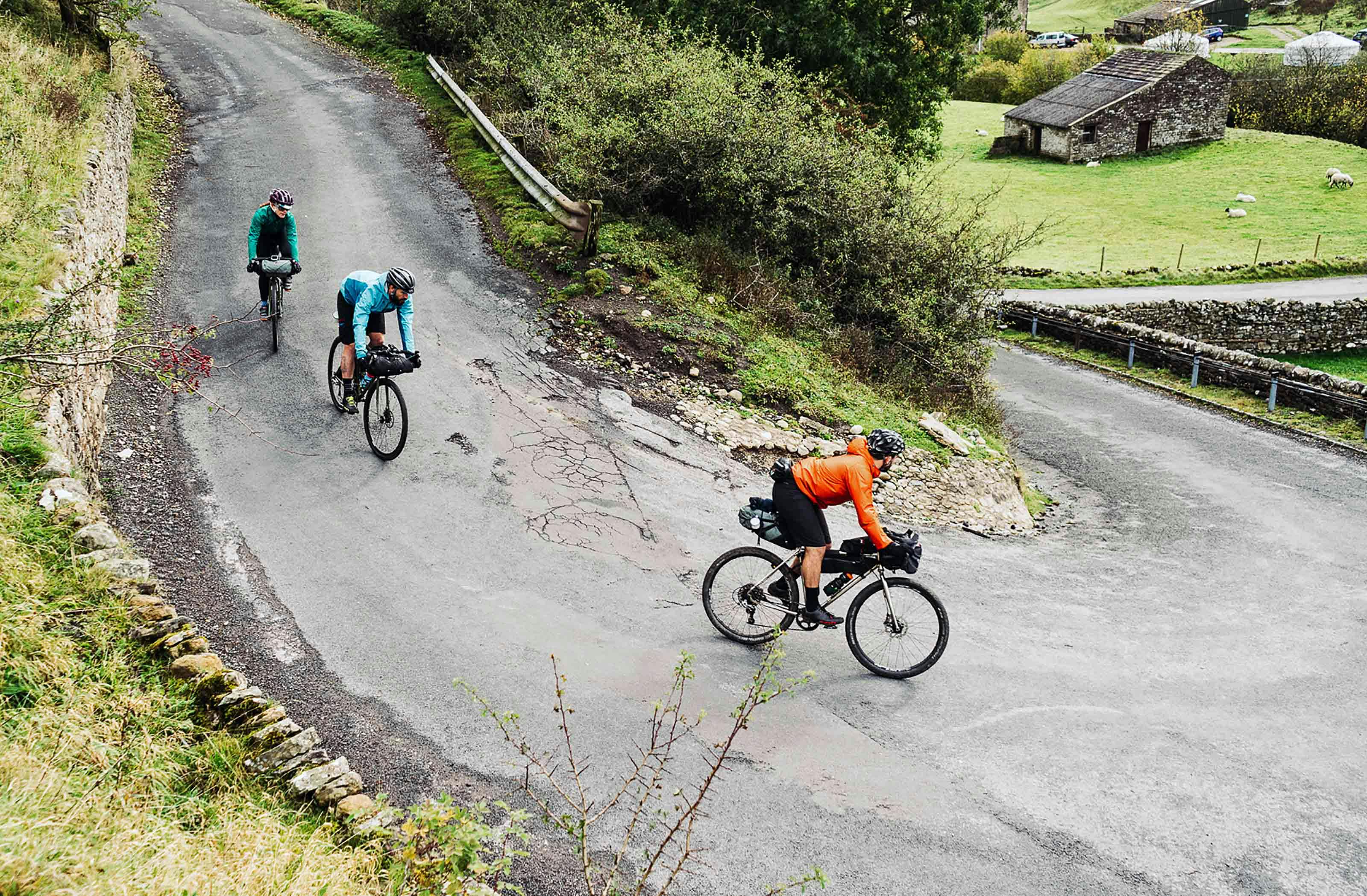


Descending from Tan Hill to the foot of Buttertubs Pass we actually got the full experience of the wild windswept moorland we had ridden the night before, and it made for the best riding of the tour. We took time to check out the remote sheep pens and gravel tracks up to the more isolated sheep barns – look out for a loaded gravel hill climb ride-out soon! Speaking of which, if you’re after a more off-road option, the Pennine Way (bridleway) runs sort-of parallel to the road from Keld to Tan Hill.
Buttertubs Pass loomed; we could see the road snaking up and over the hillside ahead, a few drystone wall enclosures over. What a climb it is. To its testament, we didn’t even stop to take photos – the cattle grid summit was our focus before heading onto the buttertubs themselves – small pot holes where locals used to store butter to prevent it from melting in the Summer months. The descent into Wensleydale was our reward, whizzing past the line of snow poles to guide road-users in deep snow.
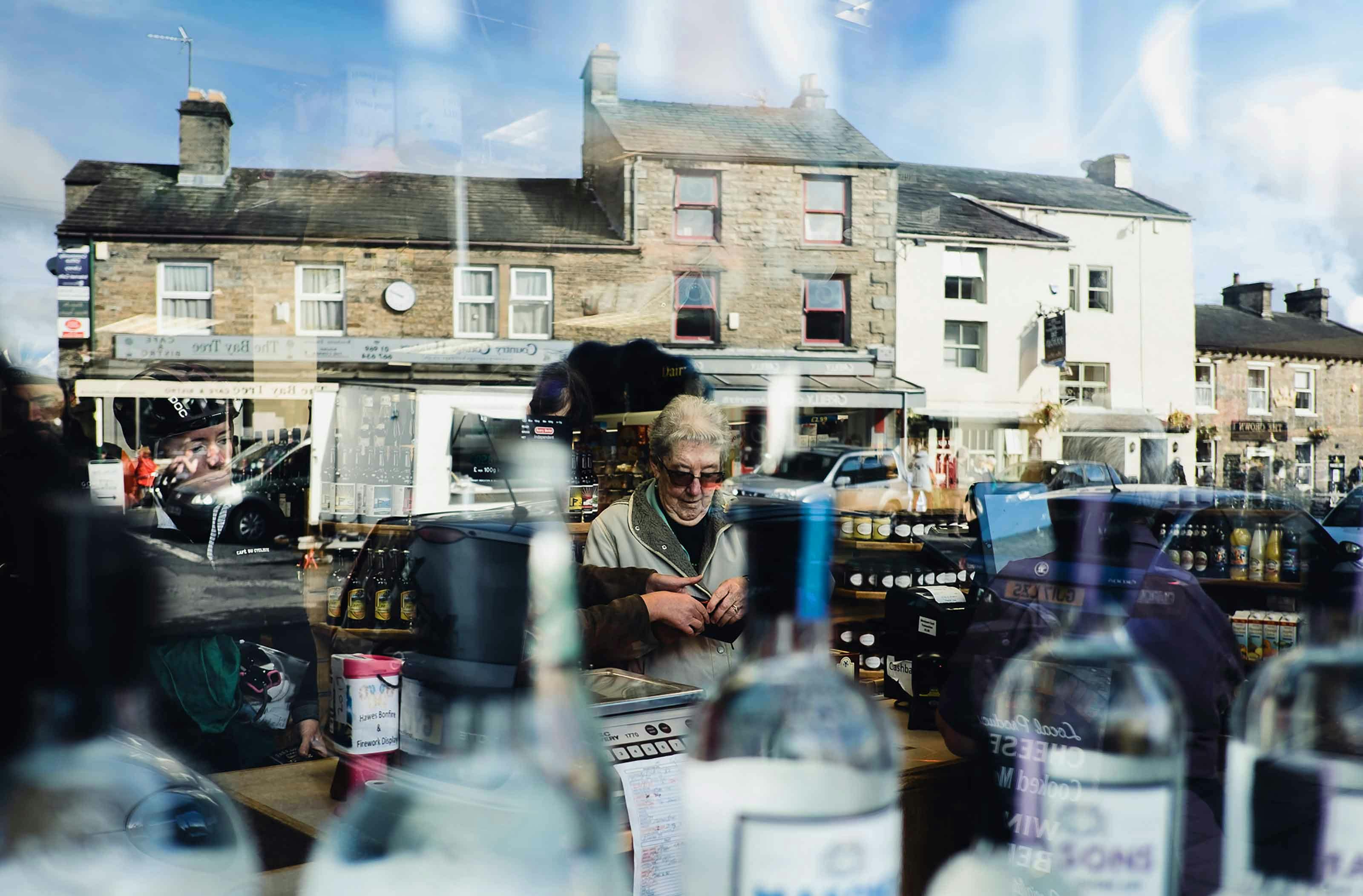
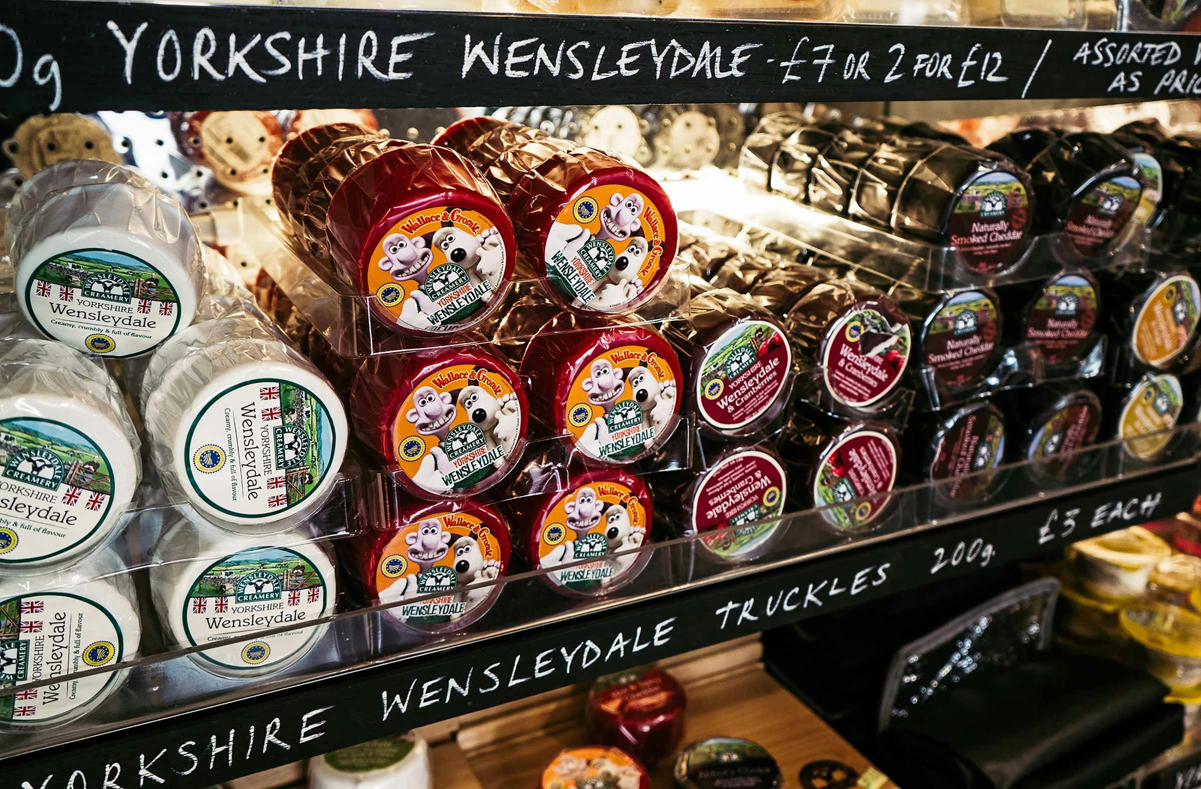
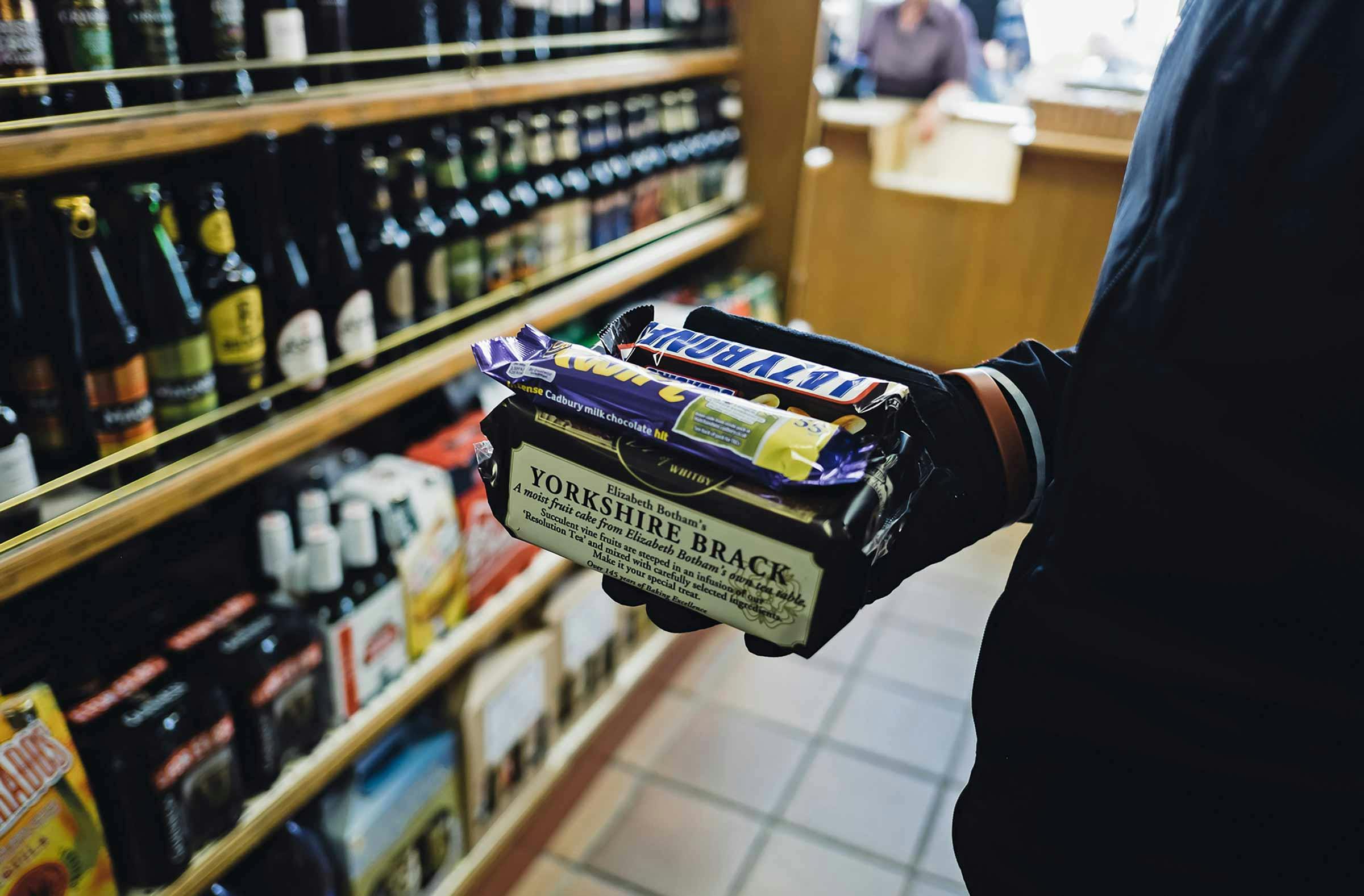
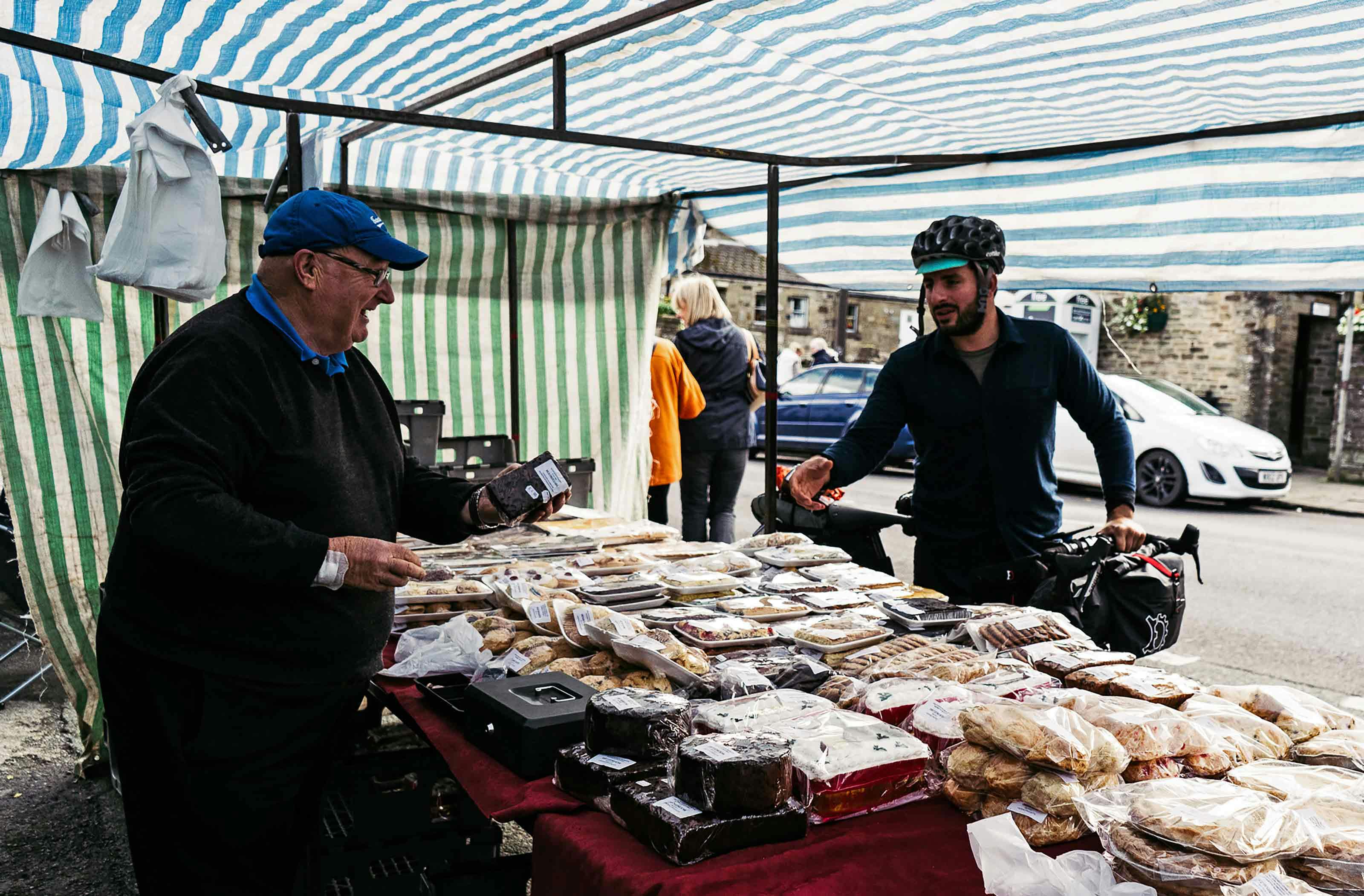
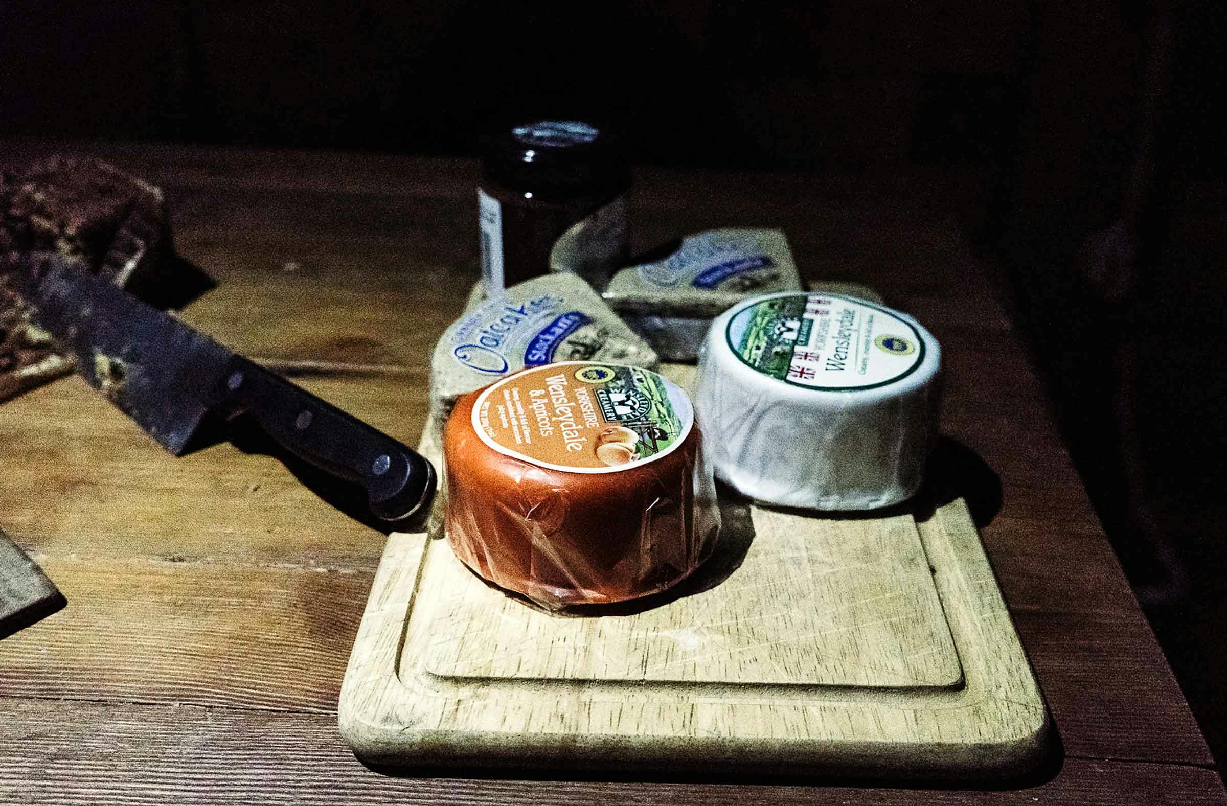
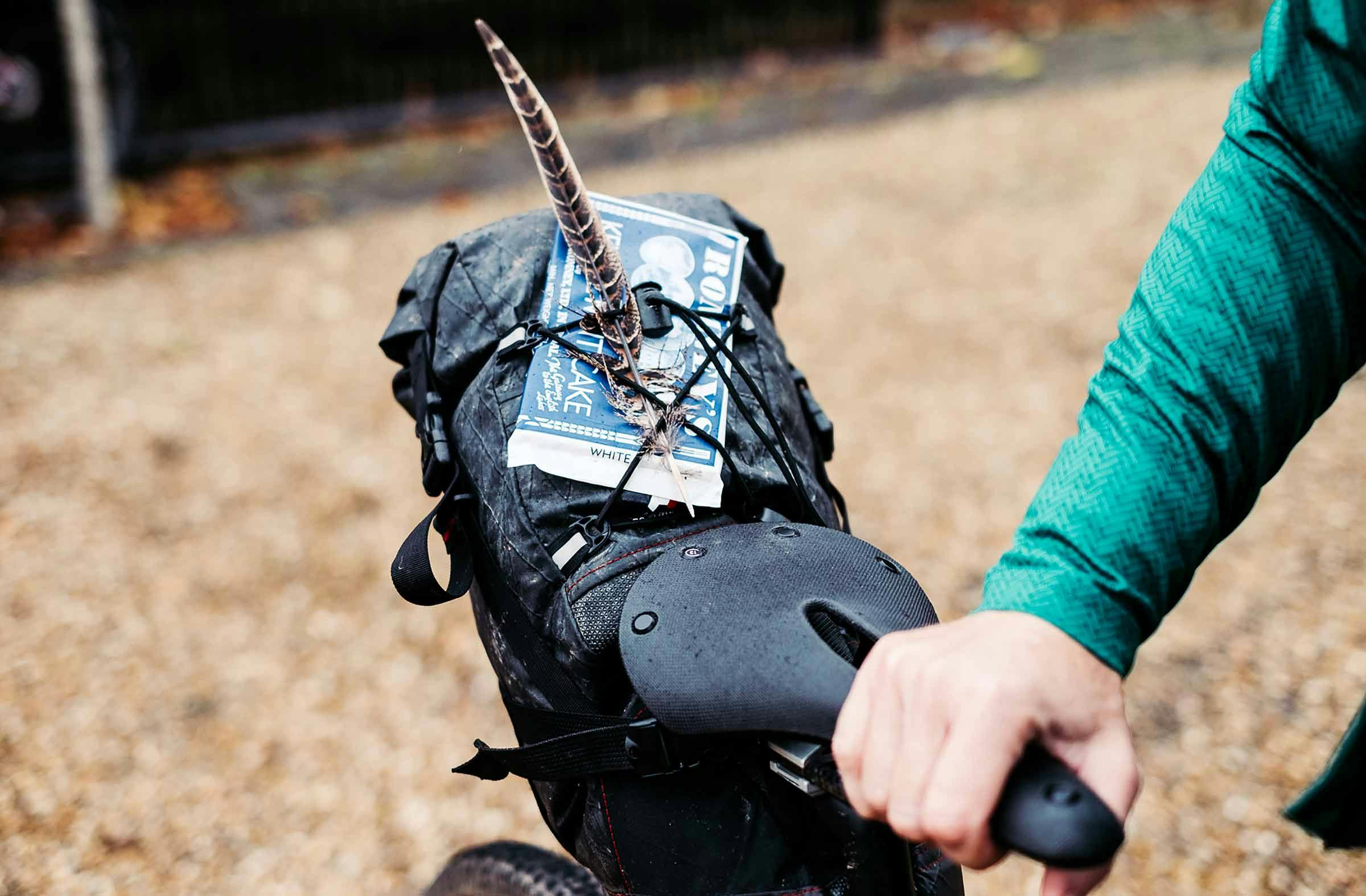
Hawes makes for the ideal touring pit stop – an ace small town with everything you could need café/pub/shop wise and more: a Creamery, known as the home of Wensleydale cheese. We ate, drank and picked up some supplies for the evening – namely Yorkshire Brack (strapped nicely to the top of seatpacks) and Sloe Gin (always makes it’s way into framebags) from the store and the market stalls that lined the High Street. Our next stop was the Creamery, just a minute’s ride out of town which if we’re honest, left us a little disappointed. The cheese selection was good though, obviously, so we pushed through the crowds and picked up one ‘classic’ and one ‘fruity’ Wensleydale wheel, oatcakes and some chutney which we stuffed amongst sleeping bags to keep safe on the road. Resupplied, with cheese, coffee and cake strapped to all parts of the bike, it was time to push on back to Harrogate.
Other than it’s smooth crumbly cheese, Wensleydale’s claim to fame is that it’s the best known exception to the ‘dale naming’ rule – named after the small village of Wensley, rather than the River Ure. Riding out through the dale in the shadows of Castle Bolton, with the Ure to our right, signalled the end of the wilder riding, for this tour anyway…
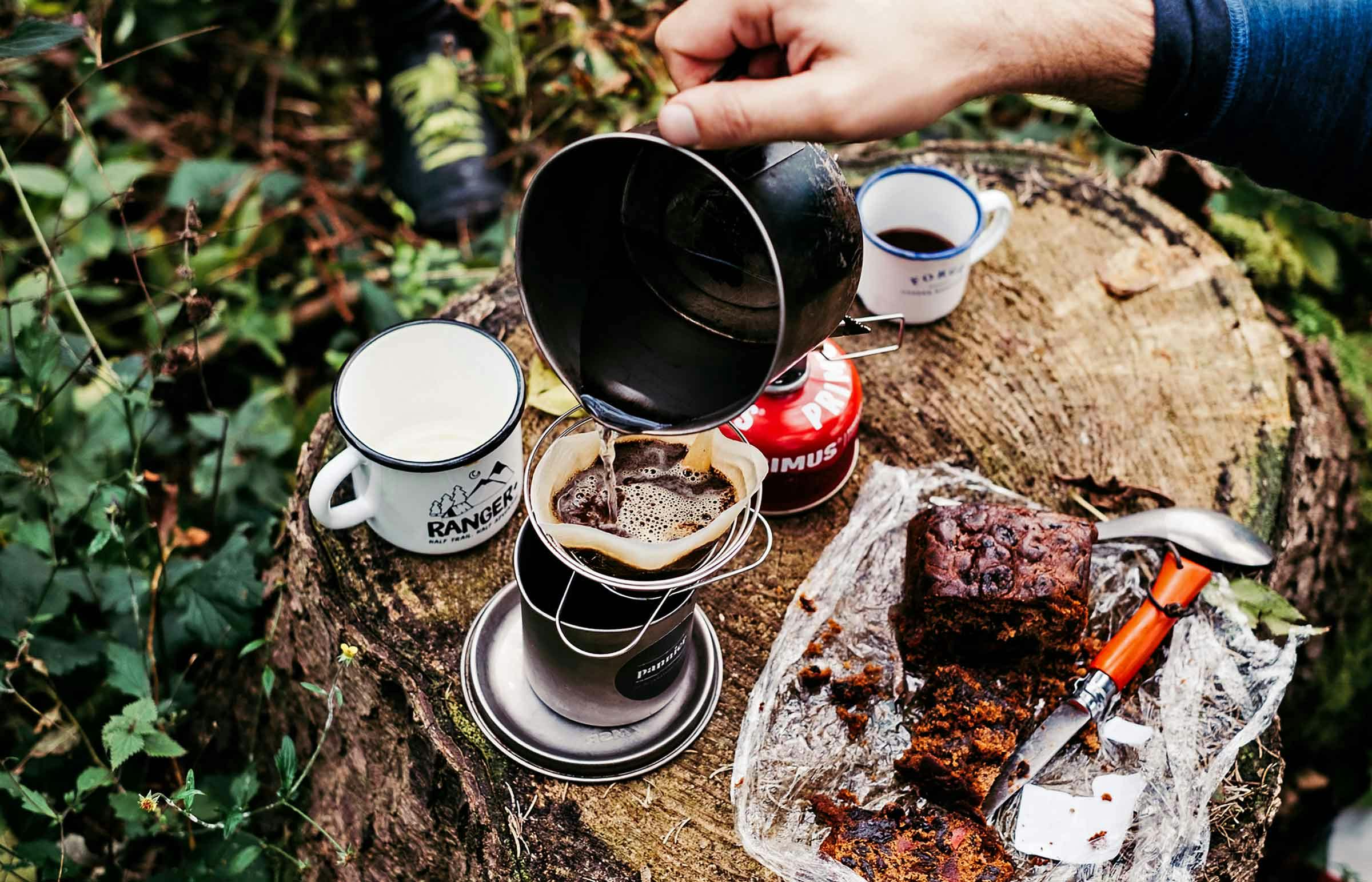
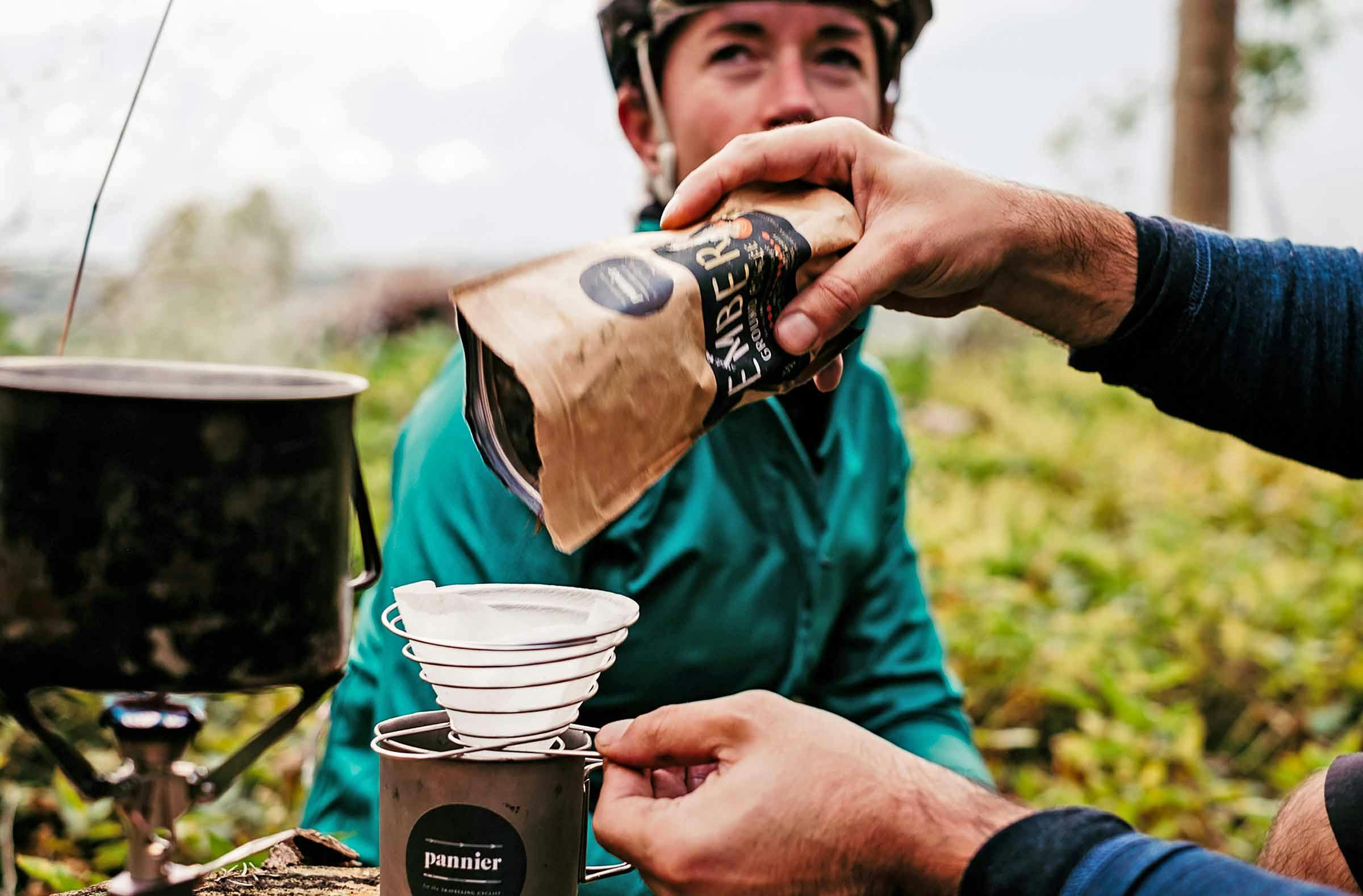
…the landscape tamed around us. No more high expansive moorlands, wild windswept passes, or sheep barns… In mourning, we took some time out and brewed coffee on a treestump


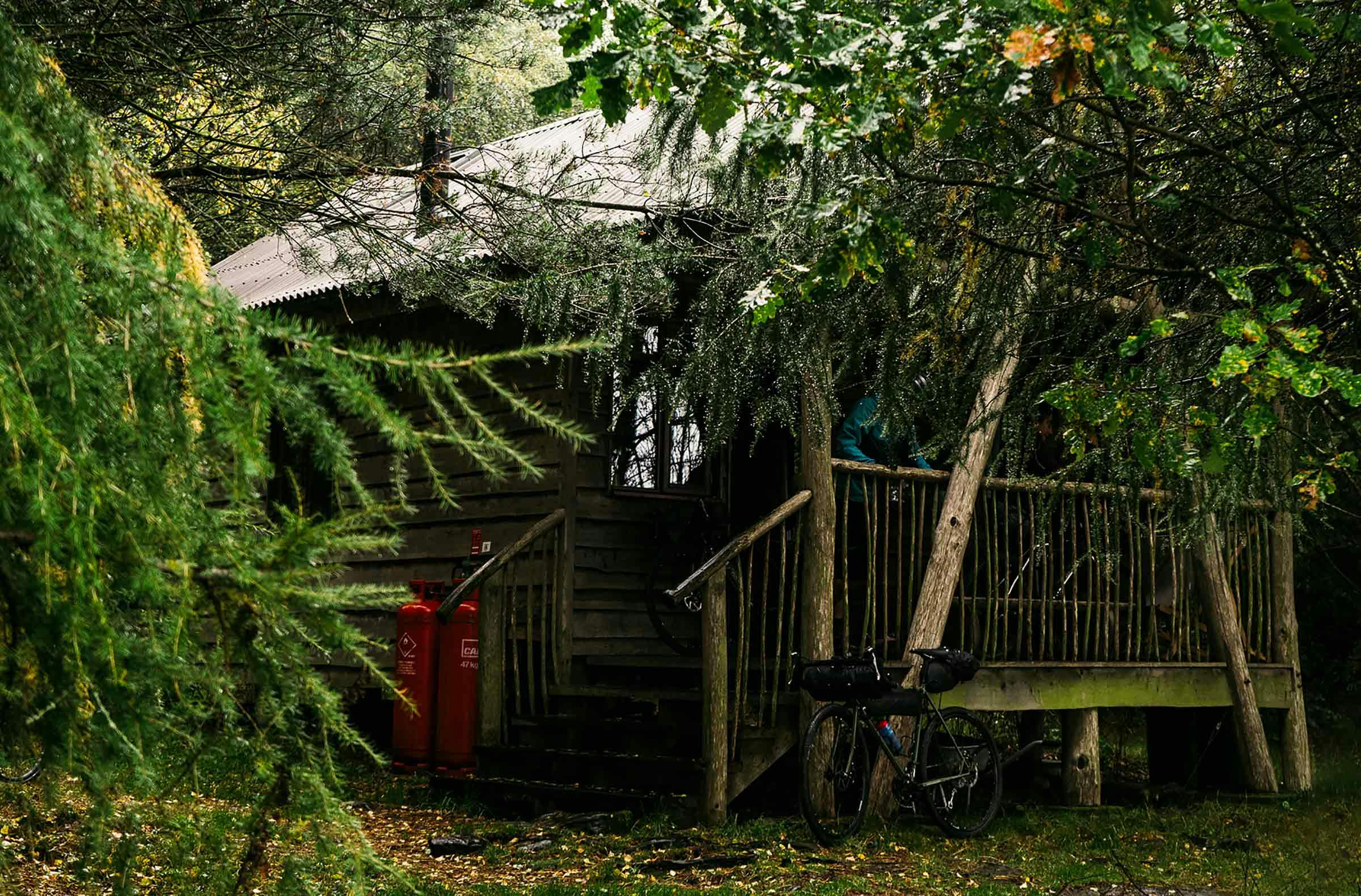
…once the heavens opened in God’s Own Country, we decided to take refuge in a forest hut we’d caught wind of
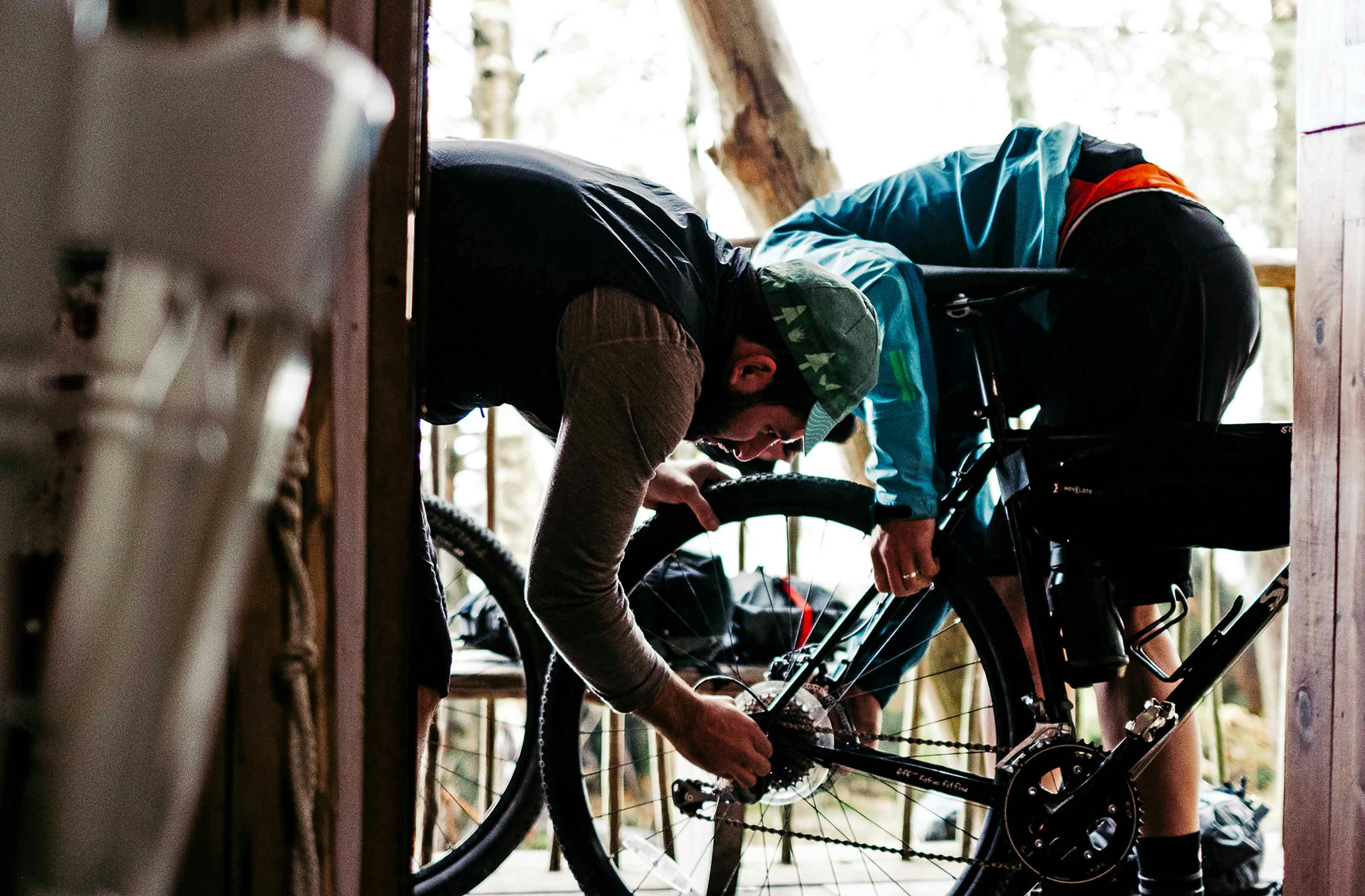
As darkness fell again (we’d clearly spent too long checking out sheep barns, creameries and outdoor coffee techniques) we were still making our way back south towards Harrogate and were somewhere between Leyburn and Masham. So, once the heavens opened in God’s Own Country, we decided it best to seek refuge in a forest hut we’d caught wind of and settle in for the evening.
Over the two days, we found that using Komoot on the phone was the simplest way of using the app: wayfinding, re-routing and the best (only) way of looking at wider mapping which is something we like to do; to break out the 2×2” GPS display and coloured route line. However, it of course means you need to have your phone out, which means you’ll need dynamo charging or a backup battery for use over two days, even in Airplane Mode. In our experience, the Wahoo and Garmin integration is seamless and works super well for turn-by-turn navigation and wayfinding. This is a major plus. Re-routing on-the-road was super easy across the devices, and is definitely one of the main advantages of Komoot, but it does require that internet connection. Our first route edit, at the Dales Bike Centre confirmed that unless you’re 100% certain of internet access on a tour, if you want/need to search your surroundings or re-route in-the-field, it’s essential to download all necessary maps for offline-use before setting off. Or, to take a backup map.
We awoke in the forest 34km from Harrogate, which we rattled out in not much more than one hour the next morning. Over the 2.25 days, we rode 202km with 2544m of ‘up’ and definitely managed to escape into wild windswept reaches of the Yorkshire Dales.
Sometimes ‘adventure’ is simply about not knowing where you’re going; it was for us on this tour anyway. Where the age-old questions of “where should we actually ride?” and “how will we know where to go?” might have put folk off, the rise in availability of straight-forward mapping tech to help plot routes and navigate really makes cycling in the Outdoors accessible. If apps, like Komoot, help cyclists explore the unknown by bike then it can only be a good thing.
Pack a bike, and take a couple of days to escape somewhere new…
…with the woodburning stove going and Wensleydale cheese & oatcakes (we’d stuffed safely amongst sleeping bags) scattered across the table, the five of us were set for our last evening
Treehouse (Masham) >> Harrogate
34km / 335m+
As a Pannier tourer, you can get free multi-region access to Komoot by heading over and using code ‘PANNIER17’ by 31st December 2017.
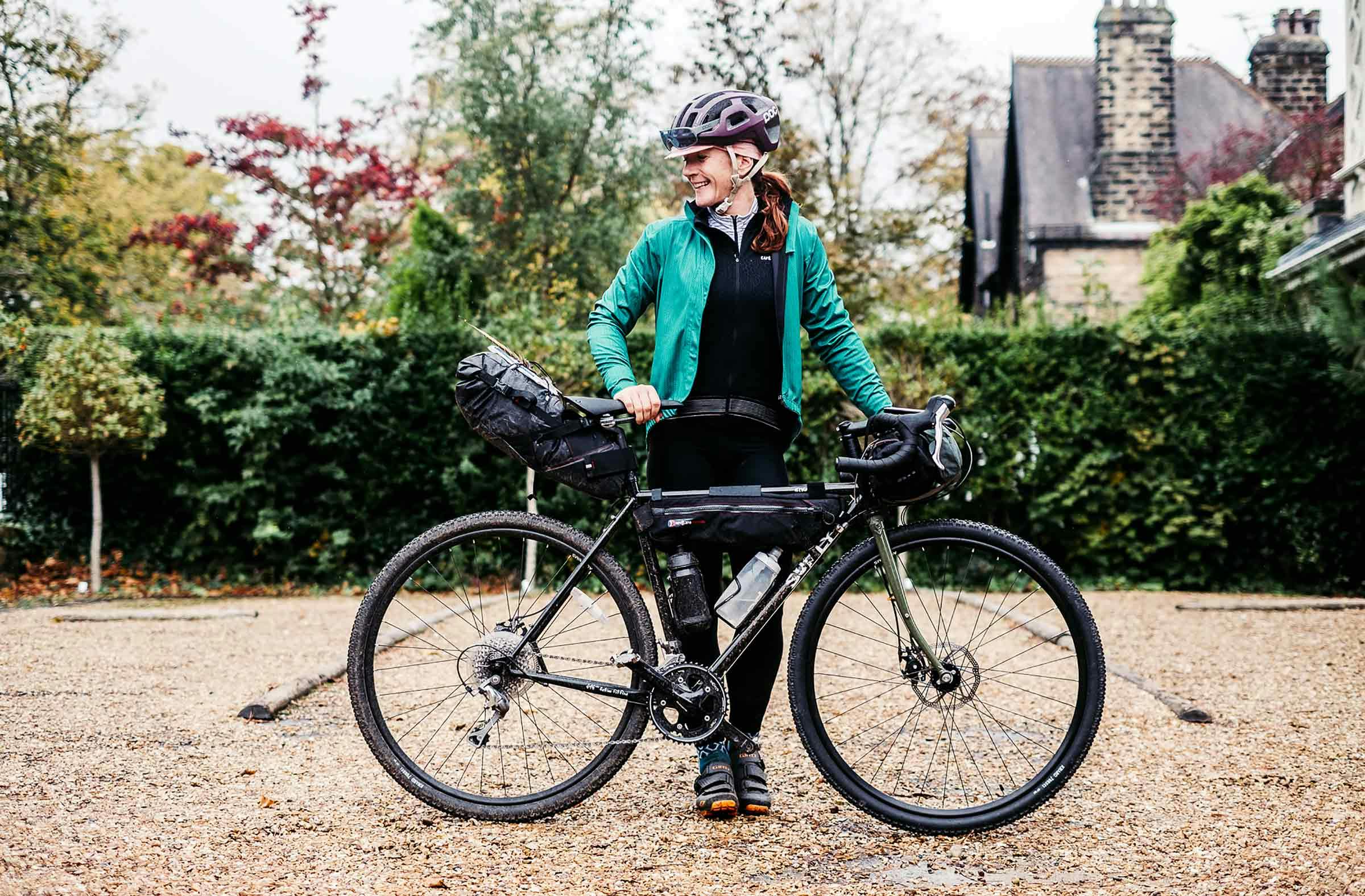
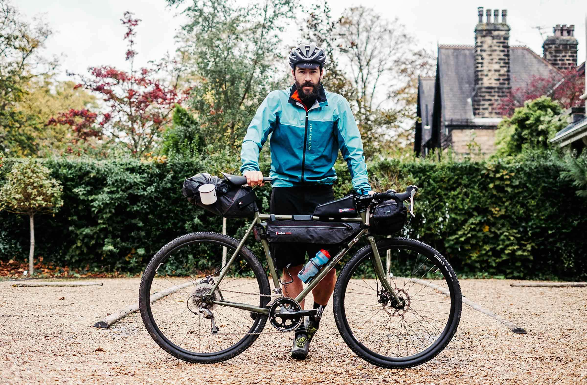
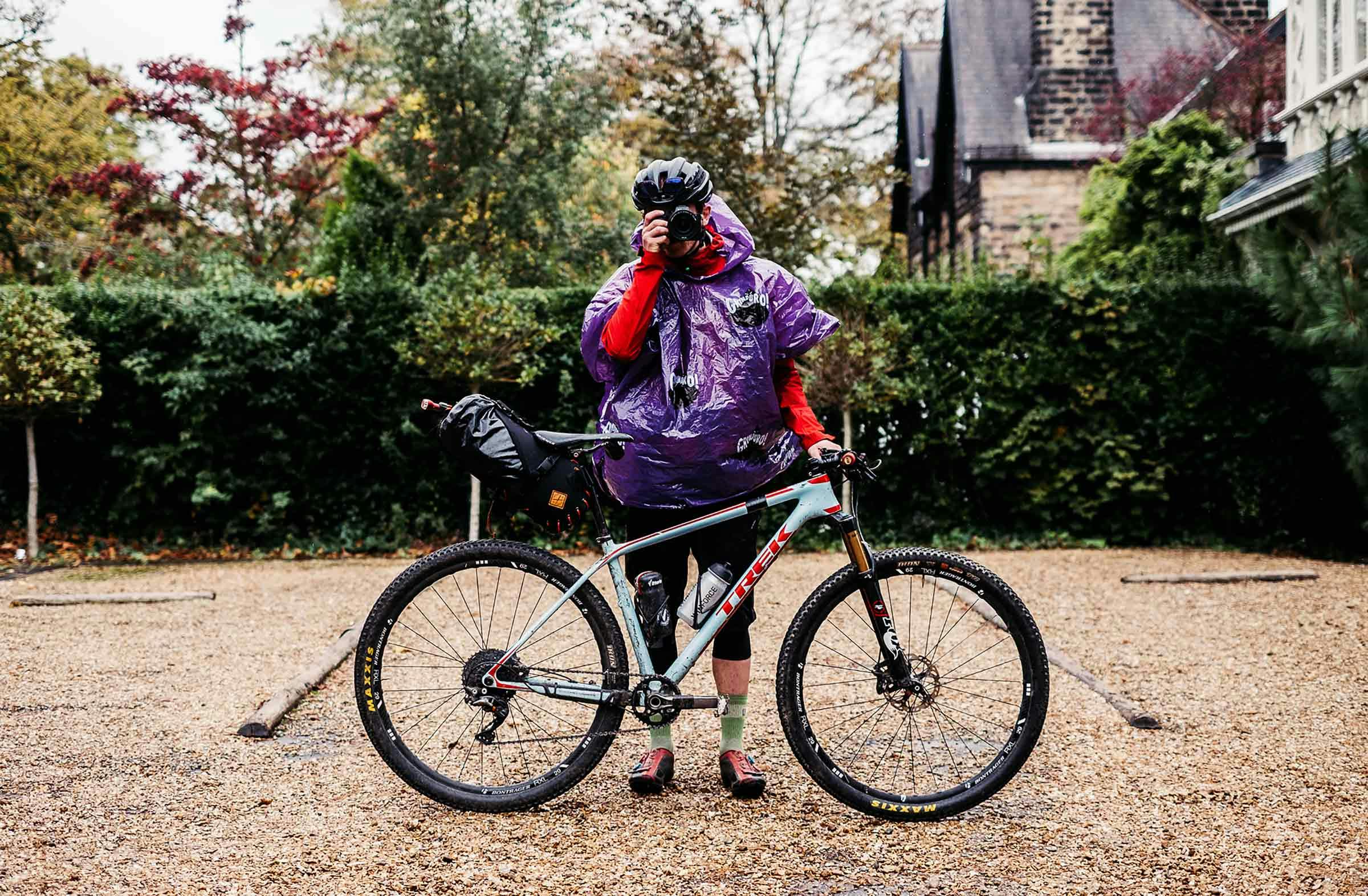
Tour Riders
Fiola Foley
Paul Errington
Stefan Amato
Josh Brooks
Chris McClean
Photography
Chris McClean
Film
Josh Brooks
Founded in 2010 by outdoor enthusiasts from the Austrian Alps and Germany, Komoot is a mapping app designed with adventure-based cyclists in mind. Komoot has become renowned for its: route planner (including information about route surface type and elevation, which display across a series of nice graphics); turn-by-turn navigation (plus simple re-routing and addition of waypoints out in the field), high quality maps that also work offline once the route/information is downloaded (which rids the problem of GPS-use sucking the life out of a phone’s battery); and Komoot’s integration with Wahoo and Garmin GPS devices.
The Komoot app works with Garmin Edge 520, 820, 1000 & 1030 and Edge Explore 820 & 1000 devices, plus a number of watch-based Garmins. Once users download the free Komoot app from the Garmin Connect IQ store and sign in to their account, all planned routes are immediately visible on their Garmin devices ready to be downloaded, tracked and re-routed on the go if needs be…
As a Pannier tourer, you can get free multi-region access to Komoot by heading over and using code ‘PANNIER17′ by the 31st December 2017. Give it a go, and see what you think…

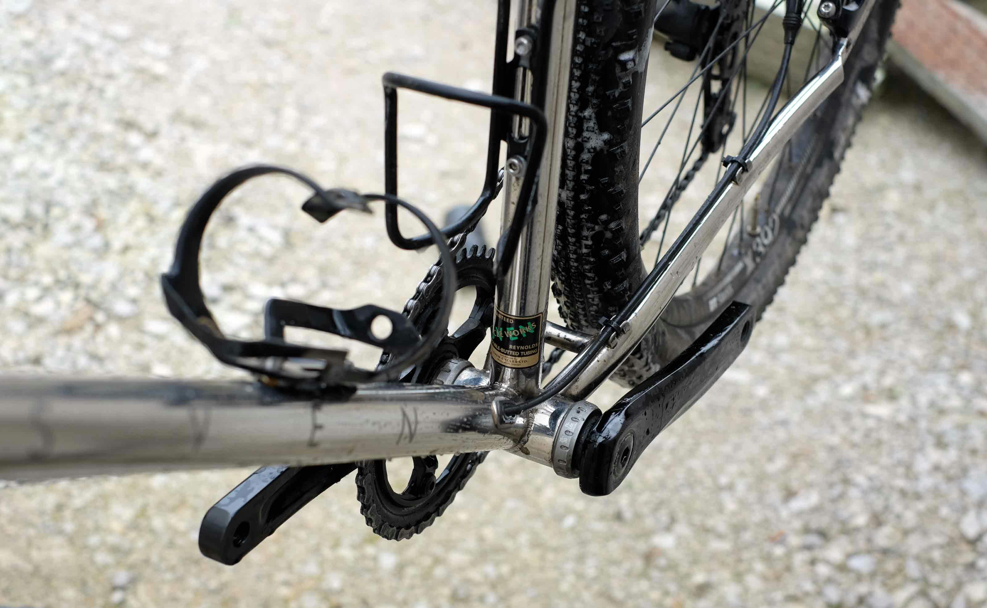
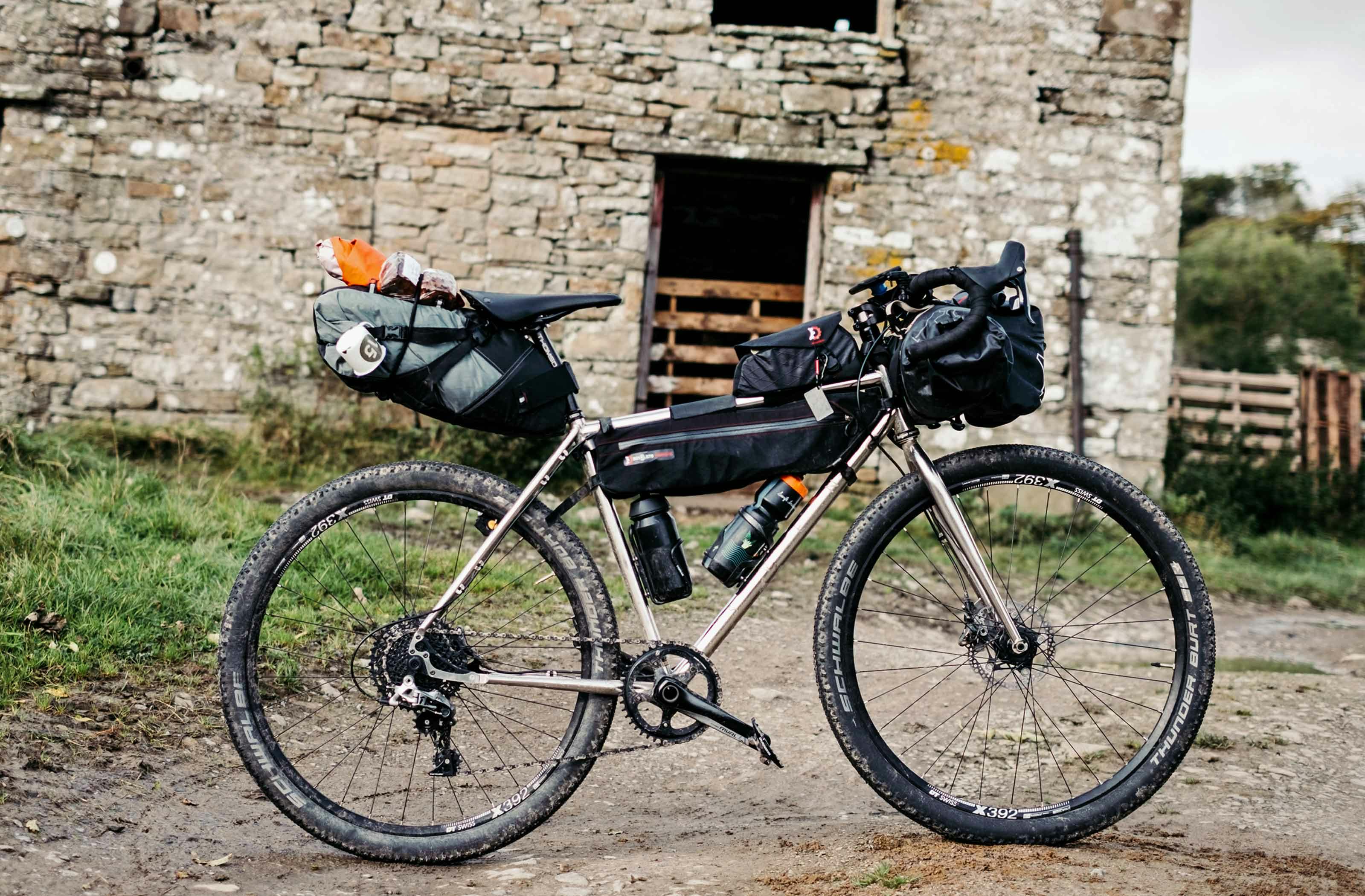
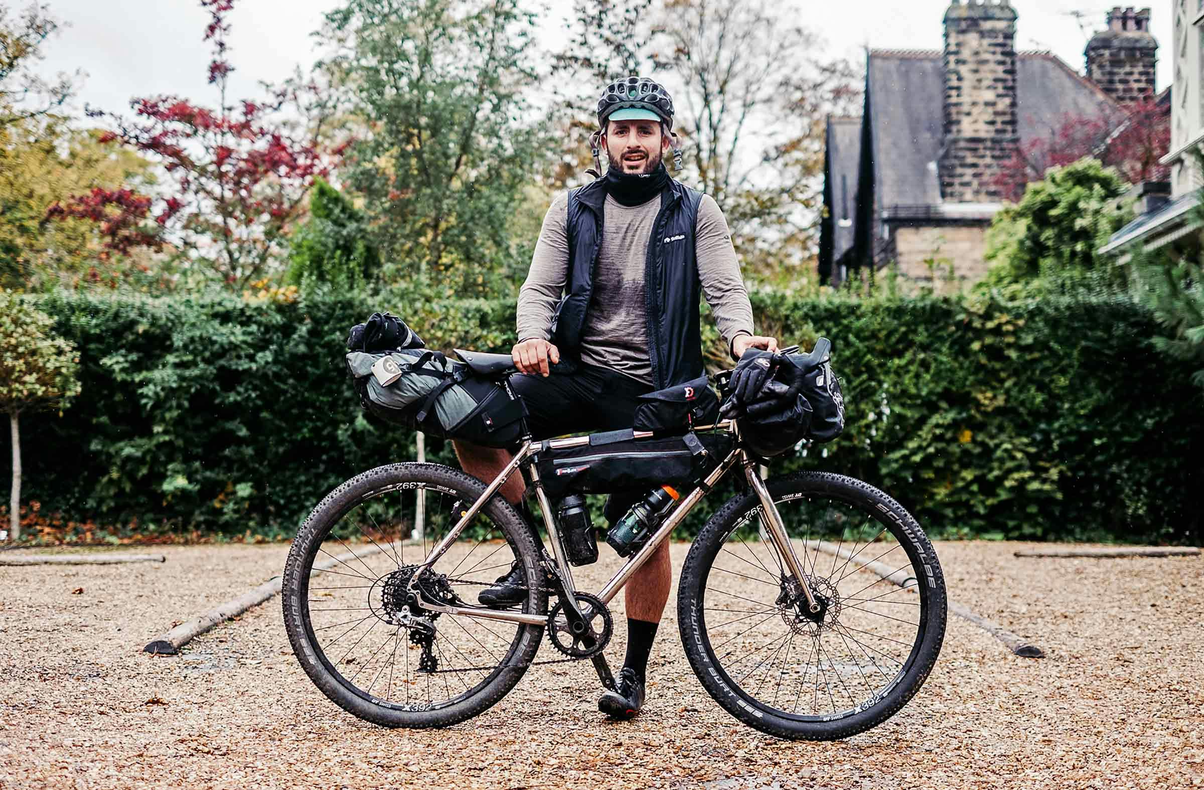
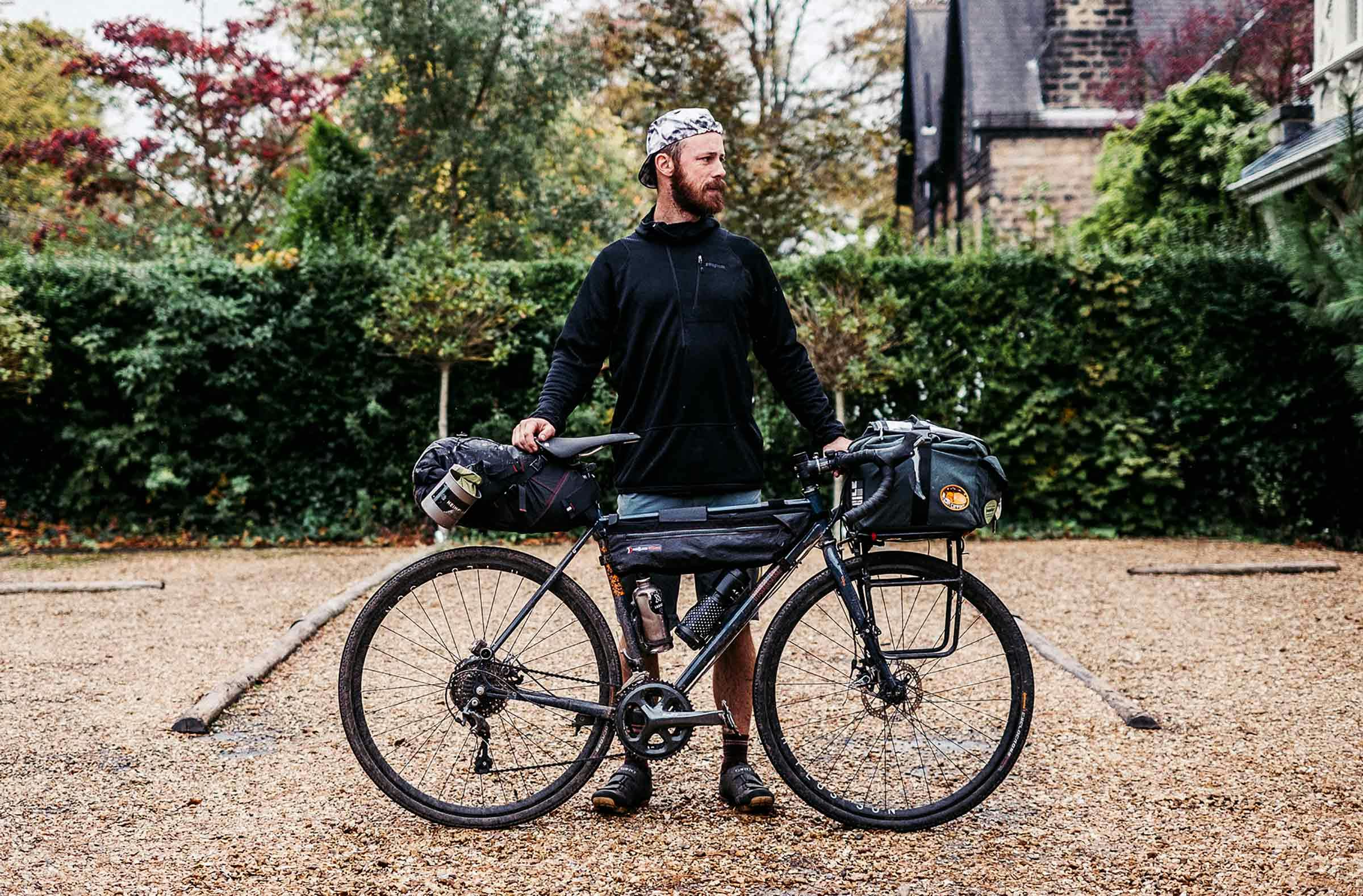
Darron and Mog have been handmaking bespoke steel bicycles in their workshop in Dorset (UK) since 2012. The Sven Cycles Pathfinder steel adventure bike is their first venture into semi-custom builds, and it couldn’t be a more versatile, comfy bike for adventure-based touring and bikepacking. In their words: “Adventure touring, gravel grinding, bikepacking – whatever you want to call it – has become very popular in recent years. We just call it riding your bike wherever you want. Part mountain bike, part touring bike, our Pathfinder adventure bike lets you do just that.”
The Pathfinder is the result of a series of developments in the last few years that have curated the ‘all-road’ bike category: disc-brakes (hydraulic); the ability to run 700C with mixed-terrain tyres / 650B with even wider tyres for added volume (a 700Cx28-30mm diameter will match a 650Bx42mm-47mm); tubeless-ready, thru-axle wheelsets; a whole load of bosses for rack/fender/cage mounting; 1x drivetrains; and the versatility, longevity and comfort of a steel (Reynolds 931 stainless) frameset.
To mark its release, Darron sent a Pathfinder (Medium, 1x 42T chainring > 11-42 cassette) to Pannier HQ for us to ride on this tour saying the added volume offered a comfy ride on any terrain. He wasn’t wrong; the only thing we’d change is maybe going down to a 38/40 front chainring for climbing off-road, loaded. In the end most of this Dalescape tour involved riding tarmac but the 650B setup was super smooth, fun and seemingly efficient, even if we did end up increasing the tyre pressure a touch. Sure, if you’re wanting to ‘smash’ it, you are going to be much better off riding 25c slick tyres, but this current setup works wonders for The 15KPH Club. For Pannier folk, with roots in traditional road touring but wanting to head a bit further off-the-beaten-track, this all-road/adventure bike genre has really become the go-to for touring, bikepacking and general riding.
…not to mention, it’s a shiny stainless stunner.
